Category:Maps of Vieux-Boucau-les-Bains
Jump to navigation
Jump to search
Wikimedia category | |||||
| Upload media | |||||
| Instance of | |||||
|---|---|---|---|---|---|
| Category combines topics | |||||
| Vieux-Boucau-les-Bains | |||||
commune in Landes, France   | |||||
| Instance of | |||||
| Location |
| ||||
| Population |
| ||||
| Area |
| ||||
| official website | |||||
 | |||||
Media in category "Maps of Vieux-Boucau-les-Bains"
The following 6 files are in this category, out of 6 total.
-
 40328-Vieux-Boucau-les-Bains-argile.jpg 3,057 × 2,480; 840 KB
-
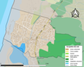 40328-Vieux-Boucau-les-Bains-Sols.png 3,270 × 2,598; 2.49 MB
-
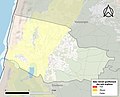
 40328-Vieux-Boucau-les-Bains-ZNIEFF1.png 4,692 × 3,307; 7.07 MB
-
 40328-Vieux-Boucau-les-Bains-ZNIEFF2.png 5,866 × 4,133; 10.35 MB
-
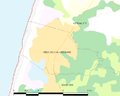 Map commune FR insee code 40328.png 756 × 605; 39 KB
-
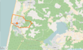 Vieux-Boucau-les-Bains Limite communale.png 954 × 578; 226 KB


