Category:Maps of municipalities in the canton of Zürich Fusion to 1934
Jump to navigation
Jump to search
Media in category "Maps of municipalities in the canton of Zürich Fusion to 1934"
The following 2 files are in this category, out of 2 total.
-
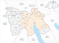 Karte Bezirk Zürich Gemeindeveraenderungen 1934.png 1,475 × 1,085; 387 KB
-
 Karte Bezirk Dielsdorf Gemeindeveraenderungen 1934.png 1,476 × 1,349; 438 KB

