Category:Maps of municipalities in the district of Westlich Raron old
Jump to navigation
Jump to search
Media in category "Maps of municipalities in the district of Westlich Raron old"
The following 12 files are in this category, out of 12 total.
-
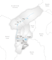
 Karte Gemeinde Ausserberg.png 826 × 952; 155 KB
-
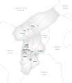
 Karte Gemeinde Blatten.png 826 × 952; 159 KB
-
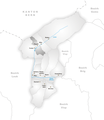
 Karte Gemeinde Bürchen.png 826 × 952; 155 KB
-
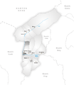
 Karte Gemeinde Eischoll.png 826 × 952; 155 KB
-
 Karte Gemeinde Ferden.png 826 × 952; 156 KB
-
 Karte Gemeinde Hohtenn.png 826 × 952; 154 KB
-
 Karte Gemeinde Kippel.png 826 × 952; 155 KB
-
 Karte Gemeinde Niedergesteln.png 826 × 952; 155 KB
-
 Karte Gemeinde Raron.png 826 × 952; 157 KB
-
 Karte Gemeinde Steg.png 826 × 952; 154 KB
-
 Karte Gemeinde Unterbäch.png 826 × 952; 156 KB
-
 Karte Gemeinde Wiler Lötschen.png 826 × 952; 155 KB


