Category:Maps of municipalities of Switzerland to 1972
Jump to navigation
Jump to search
Media in category "Maps of municipalities of Switzerland to 1972"
The following 11 files are in this category, out of 11 total.
-
 Karte Bezirke und Kreise der Schweiz farbig 1961.png 4,133 × 2,848; 3.28 MB
-
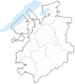
 Karte Gemeinden des Kantons Bern 1959.png 2,952 × 2,807; 1.48 MB
-
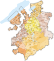
 Karte Gemeinden des Kantons Bern farbig 1959.png 2,952 × 2,821; 2.44 MB
-
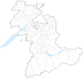
 Karte Gemeinden des Kantons Freiburg 1971.png 2,952 × 3,304; 2.02 MB
-
 Karte Gemeinden des Kantons Freiburg 1972.png 2,952 × 3,304; 2.02 MB
-
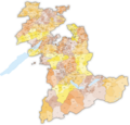
 Karte Gemeinden des Kantons Freiburg farbig 1971.png 2,952 × 3,304; 2.73 MB
-
 Karte Gemeinden des Kantons Freiburg farbig 1972.png 2,952 × 3,304; 2.73 MB
-
 Karte Gemeinden des Kantons Solothurn 1961.png 2,952 × 2,703; 1.68 MB
-
 Karte Gemeinden des Kantons Solothurn farbig 1961.png 2,952 × 2,703; 2.02 MB
-
 Karte Gemeinden des Kantons Wallis 1968.png 3,836 × 2,598; 1.75 MB
-
 Karte Gemeinden des Kantons Wallis farbig 1968.png 3,836 × 2,598; 1.98 MB


