Category:Maps of the Borough of Cheshire East
Jump to navigation
Jump to search
Media in category "Maps of the Borough of Cheshire East"
The following 9 files are in this category, out of 9 total.
-
 Cheshire East in England (zoom).svg 816 × 991; 1.34 MB
-
 Cheshire East in England.svg 816 × 991; 1.32 MB
-
 Cheshire East UK local election 2011 map.svg 1,336 × 1,306; 1.14 MB
-
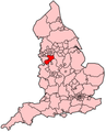
 Cheshire East UK locator map.svg 1,425 × 1,098; 999 KB
-
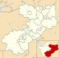 Cheshire East UK ward map 2010 (blank).svg 1,336 × 1,306; 1,012 KB
-
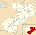 Cheshire East UK ward map 2011 (blank).svg 1,336 × 1,306; 1.14 MB
-
 EnglandCheshireEast.png 200 × 247; 25 KB
-
 Macclesfield unparished area UK locator map.svg 1,336 × 1,306; 1.68 MB
-
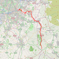 River Goyt map.png 639 × 638; 268 KB
.svg)


.svg)
.svg)