Category:Maps of the Creek War
Jump to navigation
Jump to search
Media in category "Maps of the Creek War"
The following 12 files are in this category, out of 12 total.
-
 1815m4.jpg 1,689 × 1,442; 147 KB
-
 Battle of Burnt Corn.jpg 2,988 × 5,312; 4.14 MB
-
 Battle of Horseshoe Bend.jpg 2,988 × 5,312; 4.92 MB
-
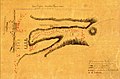 Battle of Talladega sketch.jpg 1,106 × 726; 134 KB
-
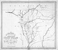
 Creek Country 1812-1814.jpg 806 × 667; 151 KB
-
 Creek war 1813-14.jpg 354 × 478; 46 KB
-
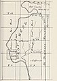 Fort Easley.jpg 400 × 568; 48 KB
-
 Fort Glass and Madison.jpg 355 × 513; 26 KB
-
 Fort Hampton map.jpg 1,295 × 953; 209 KB
-
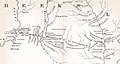 Fort Hull map.jpg 1,384 × 735; 153 KB
-
 Fort Stoddert.jpg 693 × 578; 56 KB
-
 Horseshoe Bend NMP DSC 0246 (5586391902).jpg 3,872 × 2,592; 1.26 MB


.jpg)