Category:Maps of the Royal Borough of Greenwich
Jump to navigation
Jump to search
Subcategories
This category has the following 3 subcategories, out of 3 total.
Media in category "Maps of the Royal Borough of Greenwich"
The following 23 files are in this category, out of 23 total.
-

-
 Boroughs of London Greenwich.svg 900 × 695; 42 KB
-
 Charlton location.PNG 642 × 646; 25 KB
-
 Charlton, London (Wyld, 1872).jpg 655 × 641; 787 KB
-
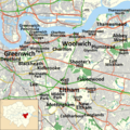
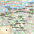 Greenwich Borough map with place names.png 900 × 899; 1.23 MB
-
 Greenwich Heritage Centre, temporary exhibition Plumstead - 2.jpg 2,949 × 2,191; 2.02 MB
-
 Greenwich Heritage Centre, temporary exhibition Plumstead - 4.jpg 3,124 × 2,185; 2.71 MB
-
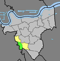
 Greenwich London UK blank ward map 2022.svg 512 × 518; 1.82 MB
-
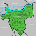
 Greenwich London UK blank ward map.svg 1,267 × 1,266; 438 KB
-
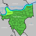
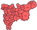
 Greenwich London UK labelled ward map 2002.svg 1,232 × 1,205; 98 KB
-
 Greenwich London UK location map.svg 1,267 × 1,266; 4.24 MB
-
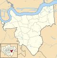
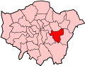
 Greenwich UK locator map.svg 1,425 × 1,140; 1.06 MB
-
 Greenwich-Ward-Map-Charlton.PNG 642 × 646; 24 KB
-
 Greenwich-Ward-Map-Peninsula.PNG 642 × 646; 24 KB
-
 Greenwich-Ward-Map.PNG 642 × 646; 34 KB
-
 GreenwichBoroughNamedDistricts3.png 900 × 899; 1.27 MB
-
 Horn Park location.PNG 642 × 646; 25 KB
-
 LondonGreenwich.png 200 × 155; 23 KB
-
 LondonGreenwich.svg 962 × 744; 19 KB
-
 Middle Park location.PNG 642 × 646; 25 KB
-
 Plumstead ward.PNG 642 × 646; 25 KB
-
 SELondon.PNG 360 × 293; 14 KB
-
 Stadtatlas London 1896 Blatt XII.25 mit Charlton House.jpg 4,137 × 2,909; 11.04 MB
%27_(11166594844).jpg)


.jpg)


