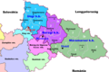
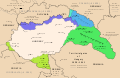
Category:Maps of the Subcarpathian Governorate (1939-1944)
Jump to navigation
Jump to search
Maps of the Subcarpathian Governorate (1939-1944),
an administrative region of the Kingdom of Hungary,
formed after the occupation of the region in 1939.
(Hungarian: Kárpátaljai Kormányzóság)
Media in category "Maps of the Subcarpathian Governorate (1939-1944)"
The following 16 files are in this category, out of 16 total.
-
 Europa (1939).png 1,660 × 942; 216 KB
-
 Hungary 1941 ethnic hu.svg 860 × 490; 339 KB
-
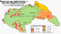
 Hungary 1941 ethnic.svg 860 × 490; 475 KB
-
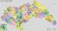 Hungary 1941-44 Administrative Map.png 4,000 × 2,157; 2.55 MB
-
 Hungary in 1941 with territories annexed in 1938-1941.png 1,022 × 738; 88 KB
-
 Kingdom of Hungary 1944 44 Varmegye.png 1,200 × 647; 286 KB
-
 Kárpátalja 1939.png 1,800 × 1,200; 190 KB
-
 Kárpátalja 1941.png 1,800 × 1,200; 191 KB
-
 Léto 1938 podkarp. rus.png 1,660 × 942; 220 KB
-
 Magyar automobil utak 1941.png 4,000 × 2,215; 2.18 MB
-
 Magyaro ÉK határváltozásai 1937-40.png 800 × 448; 116 KB
-
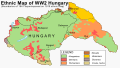
 Magyarország (1941 - 1944) ethnic map.jpg 1,090 × 723; 135 KB
-
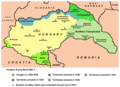
 Territorial gains of Hungary 1938-41 en.svg 1,443 × 941; 449 KB
-
 Territorial gains of Hungary 1938-41 es.svg 1,443 × 941; 1.08 MB
-
 Territorial gains of Hungary 1938-41 hu.svg 1,443 × 941; 494 KB
-
 Ungarn im Zweiten Weltkrieg.png 1,184 × 821; 225 KB
.png)


_ethnic_map.jpg)


