Category:Old geological maps of Minnesota
Jump to navigation
Jump to search
Media in category "Old geological maps of Minnesota"
The following 4 files are in this category, out of 4 total.
-
 Annual report (1872) (18240269019).jpg 3,024 × 1,988; 1.45 MB
-
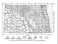 Fig 6 Map showing topographic features and drift boundaries in North Dakota.jpg 2,102 × 1,596; 941 KB
-
-
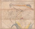
 Lake Agassiz, southern outlet.jpg 624 × 950; 220 KB
_(18240269019).jpg)

