Category:OpenStreetMap maps of Myanmar
Jump to navigation
Jump to search
Media in category "OpenStreetMap maps of Myanmar"
The following 6 files are in this category, out of 6 total.
-
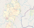
 Hpa-An - Extensive day trip by scooter.png 901 × 845; 256 KB
-
 Kutupalong RC & Expansion and Camp 14, 15,16 OSM Map.png 1,015 × 855; 1.04 MB
-
 Location map Mergui Archipelago.png 923 × 977; 125 KB
-
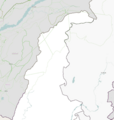 Location map Northern Sagaing.png 920 × 971; 201 KB
-
 Map Lake Inle, Myanmar.png 924 × 790; 193 KB
-
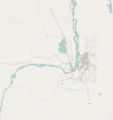 Sagaing, Burma map.png 924 × 978; 144 KB


