Category:PEF map of Western Palestine (details of sheet 9)
Jump to navigation
Jump to search
Media in category "PEF map of Western Palestine (details of sheet 9)"
The following 35 files are in this category, out of 35 total.
-

-
 Ain El Jemain in the PEF Survey of Palestine.png 1,262 × 758; 1.7 MB
-
 Ain Jalud in the PEF Survey of Palestine.png 1,267 × 778; 1.62 MB
-
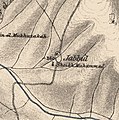
 Historical map series for the area of al-Ashrafiyya (1870s).jpg 744 × 747; 155 KB
-
 Historical map series for the area of al-Bira, Baysan (1870s).jpg 745 × 748; 201 KB
-
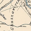 Historical map series for the area of al-Ghazzawiyya (1870s).jpg 744 × 747; 136 KB
-
 Historical map series for the area of al-Hamidiyya (1870s).jpg 744 × 748; 204 KB
-
 Historical map series for the area of al-Hamra, Baysan (1870s).jpg 743 × 747; 146 KB
-
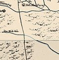 Historical map series for the area of al-Khunayzir (1870s).jpg 743 × 747; 156 KB
-
 Historical map series for the area of Al-Mazar, Jenin (1870s).jpg 744 × 748; 231 KB
-
 Historical map series for the area of al-Murassas (1870s).jpg 744 × 748; 216 KB
-
 Historical map series for the area of al-Sakhina (1870s).jpg 744 × 748; 142 KB
-
 Historical map series for the area of al-Samiriyya (1870s).jpg 743 × 747; 126 KB
-
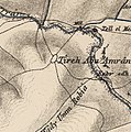 Historical map series for the area of al-Tira, Baysan (1870s).jpg 745 × 749; 218 KB
-
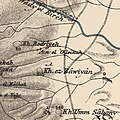
 Historical map series for the area of Arab al-'Arida (1870s).jpg 743 × 747; 164 KB
-
 Historical map series for the area of Arab al-Bawati (1870s).jpg 744 × 748; 174 KB
-
 Historical map series for the area of Arab al-Safa (1870s).jpg 743 × 747; 170 KB
-
 Historical map series for the area of Awlam (1870s).jpg 745 × 749; 227 KB
-
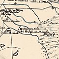
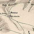 Historical map series for the area of Danna, Baysan (1870s).jpg 745 × 748; 174 KB
-
 Historical map series for the area of Farwana (1870s).jpg 744 × 747; 172 KB
-
 Historical map series for the area of Jabbul (1870s).jpg 744 × 748; 215 KB
-
 Historical map series for the area of Kafra (1870s).jpg 745 × 748; 199 KB
-
 Historical map series for the area of Kawkab al-Hawa (1870s).jpg 745 × 748; 215 KB
-
 Historical map series for the area of Khirbat al-Jawfa (1870s).jpg 744 × 747; 213 KB
-
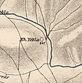
 Historical map series for the area of Khirbat Al-Taqa (1870s).jpg 745 × 748; 224 KB
-
 Historical map series for the area of Khirbat Umm Sabuna (1870s).jpg 745 × 748; 206 KB
-
 Historical map series for the area of Khirbat Zawiya (1870s).jpg 745 × 748; 212 KB
-
 Historical map series for the area of Nuris (1870s).jpg 744 × 748; 230 KB
-
 Historical map series for the area of Qumya (1870s).jpg 744 × 748; 208 KB
-
 Historical map series for the area of Sirin, Baysan (1870s).jpg 745 × 749; 200 KB
-
 Historical map series for the area of Tall al-Shawk (1870s).jpg 744 × 747; 163 KB
-
 Historical map series for the area of Umm 'Ajra (1870s).jpg 744 × 747; 145 KB
-
 Historical map series for the area of Yubla (1870s).jpg 744 × 748; 208 KB
-
 Historical map series for the area of Zab'a (1870s).jpg 744 × 748; 169 KB
-
 Historical map series for the area of Zir'in (1870s).jpg 744 × 748; 196 KB
.jpg)


.jpg)
.jpg)
.jpg)
.jpg)
.jpg)
.jpg)
.jpg)
.jpg)
.jpg)
.jpg)
.jpg)
.jpg)
.jpg)
.jpg)
.jpg)
.jpg)
.jpg)
.jpg)
.jpg)
.jpg)
.jpg)
.jpg)
.jpg)
.jpg)
.jpg)
.jpg)
.jpg)
.jpg)
.jpg)
.jpg)
.jpg)
.jpg)