Category:Political maps of Bas-Rhin
Jump to navigation
Jump to search
Media in category "Political maps of Bas-Rhin"
The following 15 files are in this category, out of 15 total.
-
 67-Pres2022-T1-1er.png 3,519 × 3,197; 2.26 MB
-
 67-Pres2022-T1-abst.png 3,519 × 3,197; 2.27 MB
-
 Bas-Rhin circonscriptions1958.svg 1,069 × 1,200; 73 KB
-
 Bas-Rhin législatives 1958.svg 723 × 826; 23 KB
-
 Bas-Rhin législatives 1962.svg 723 × 826; 23 KB
-
 Bas-Rhin législatives 1967.svg 723 × 826; 23 KB
-
 Bas-Rhin législatives 1973.svg 723 × 826; 23 KB
-
 Bas-Rhin législatives 1978.svg 1,069 × 1,200; 31 KB
-
 Bas-Rhin législatives 1981.svg 1,069 × 1,200; 31 KB
-
 Carte résultats cantons 2015 Bas-Rhin.svg 534 × 600; 107 KB
-
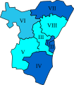
 Communauté d'agglomération de Haguenau.png 461 × 517; 21 KB
-
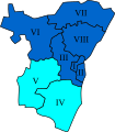
 Communauté de communes de Hanau-La Petite Pierre.png 461 × 517; 20 KB
-
 Communauté de communes de Saverne-Marmoutier-Sommerau.png 461 × 517; 20 KB
-
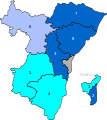
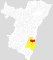 Communauté de communes du canton d'Erstein.png 461 × 517; 20 KB
-
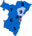 Députés sortants du Bas-Rhin en 2017.svg 877 × 984; 13 KB


