Category:Porrog
Jump to navigation
Jump to search
| Object location | | View all coordinates using: OpenStreetMap |
|---|
village in Hungary   | |||||
| Upload media | |||||
| Instance of |
| ||||
|---|---|---|---|---|---|
| Location | Csurgó District, Somogy County, Hungary | ||||
| Population |
| ||||
| Area |
| ||||
| official website | |||||
 | |||||
Media in category "Porrog"
The following 8 files are in this category, out of 8 total.
-
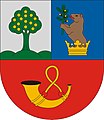 HUN Porrog COA.jpg 2,000 × 2,309; 301 KB
-
 HUN Porrog COA.svg 602 × 693; 73 KB
-
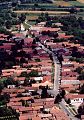 Porrog légidotó.jpg 336 × 480; 45 KB
-
 Porrog rovastabla.png 100 × 40; 6 KB
-
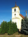 Porrog, templomtorony.jpg 1,728 × 2,304; 1,003 KB
-
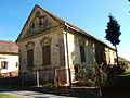 Porrogi vakolatdíszes népi lakóház 1.jpg 2,304 × 1,728; 1.01 MB
-
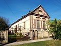 Porrogi vakolatdíszes népi lakóház 2.jpg 2,304 × 1,728; 1.02 MB
-
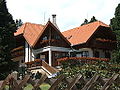 Ágneslaki vadászház.jpg 2,304 × 1,728; 1.02 MB


