Category:Postcode maps covering North West England
Jump to navigation
Jump to search
Media in category "Postcode maps covering North West England"
The following 18 files are in this category, out of 18 total.
-
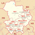 BB postcode area map.svg 1,000 × 1,000; 301 KB
-
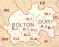 BL postcode area map.svg 1,000 × 800; 238 KB
-
 CA postcode area map.svg 1,000 × 1,000; 504 KB
-
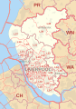
 CH postcode area map.svg 1,000 × 1,000; 488 KB
-
 CW postcode area map.svg 1,000 × 1,000; 450 KB
-
 FY postcode area map.svg 500 × 1,000; 71 KB
-
 L postcode area map.svg 700 × 1,000; 414 KB
-
 LA postcode area map.svg 1,000 × 1,000; 437 KB
-
 M postcode area map.svg 1,000 × 1,000; 532 KB
-
 OL postcode area map.svg 800 × 1,000; 499 KB
-
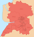
 OL Postcode Area.png 660 × 524; 431 KB
-
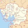
 PR postcode area locator map.png 644 × 702; 74 KB
-
 PR postcode area map.svg 1,000 × 1,000; 343 KB
-
 PR postcode area.png 636 × 693; 92 KB
-
 PRESTON (post town) locator map.png 644 × 703; 76 KB
-
 SK postcode area map.svg 1,000 × 1,000; 649 KB
-
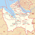
 WA postcode area map.svg 1,000 × 1,000; 631 KB
-
 WN postcode area map.svg 1,000 × 800; 184 KB


_locator_map.png)


