Category:Rotterdam metro maps
Jump to navigation
Jump to search
Media in category "Rotterdam metro maps"
The following 17 files are in this category, out of 17 total.
-
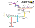 Liniennetz Metro und RandstadRail.svg 748 × 591; 828 KB
-
 Metro Lijnenkaart RET.jpg 1,134 × 879; 193 KB
-
 Metro Rotterdam future.svg 1,024 × 768; 86 KB
-
 Metro Rotterdam.png 928 × 880; 122 KB
-
 Metrokaart Rotterdam per 13 december 2009.svg 1,024 × 768; 77 KB
-
 Metrokaart Rotterdam per 16 augustus 2010.svg 1,024 × 768; 78 KB
-
 Metrokaart Rotterdam per 17 augustus 2010.svg 1,024 × 768; 77 KB
-
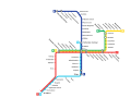 Metrokaart Rotterdam per 2011.svg 1,024 × 768; 80 KB
-
 Metrokaart Rotterdam per 2017.png 665 × 527; 99 KB
-
 Metrokaart Rotterdam.png 560 × 449; 11 KB
-
 MetrolijnArotterdam.svg 1,024 × 769; 1.42 MB
-
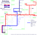
 Mk Rotterdam Metro Karte.png 1,868 × 1,437; 173 KB
-
 Mk Rotterdam Metro Legende.png 700 × 377; 8 KB
-
 Ontwikkeling metro Rotterdam.gif 1,024 × 768; 165 KB
-
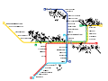
 Rotterdam metro outline map.svg 1,040 × 880; 44 KB
-
 Rotterdamse metro toekomst.png 1,434 × 1,027; 123 KB
-
 Routebord Coolhaven Rotterdam.JPG 3,264 × 2,448; 1.39 MB


