Category:SVG maps of Spanish Sahara
Jump to navigation
Jump to search
Media in category "SVG maps of Spanish Sahara"
The following 11 files are in this category, out of 11 total.
-
 Territorios de la Segunda República Española-variante.svg 4,950 × 7,500; 1.73 MB
-
 Mapa del Magreb (1956)-ast.svg 1,700 × 1,750; 556 KB
-
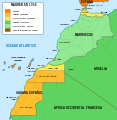 Mapa del Magreb (1956).svg 1,700 × 1,750; 573 KB
-
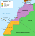
 Mapa del Magreb (1958).svg 1,700 × 1,750; 545 KB
-
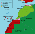
 Mapa del Magreb (1959).svg 1,700 × 1,750; 553 KB
-
 Maroc sans cadre.svg 406 × 388; 249 KB
-
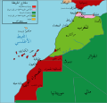 Morocco Protectorate-ar.svg 433 × 414; 943 KB
-
 Morocco Protectorate-HE.svg 406 × 388; 663 KB
-
 Morocco Protectorate.svg 406 × 388; 815 KB
-
 Saharaoccidentales.svg 627 × 599; 149 KB
-
 Territorios de la Segunda República Española.svg 4,950 × 7,500; 989 KB

-ast.svg)
.svg)
.svg)
.svg)


