Category:SVG transport maps of Poland
Jump to navigation
Jump to search
Media in category "SVG transport maps of Poland"
The following 19 files are in this category, out of 19 total.
-
 1986 PST koncepcja.svg 640 × 480; 136 KB
-
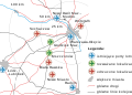 New warsaw airport proposal.svg 1,198 × 854; 62 KB
-
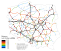
 PL motorways 2009.07.29.svg 610 × 572; 78 KB
-
 Poland airports 2006.svg 1,053 × 1,131; 46 KB
-
 Poland airports 2007.svg 1,053 × 1,131; 46 KB
-
 Poland airports 2008.svg 1,053 × 1,131; 47 KB
-
 Poland airports 2009.svg 1,053 × 1,131; 189 KB
-
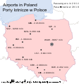 Poland airports 2010.svg 1,053 × 1,131; 170 KB
-
 Poland airports 2011.svg 1,053 × 1,131; 172 KB
-
 Poland airports 2012.svg 1,053 × 1,131; 175 KB
-
 Poland airports 2013.svg 1,053 × 1,131; 175 KB
-
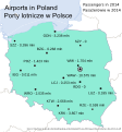 Poland airports 2014.svg 1,053 × 1,131; 178 KB
-
 Poland airports 2015.svg 1,053 × 1,131; 179 KB
-
 Poland airports 2016.svg 1,053 × 1,131; 73 KB
-
 Ruch tirow 2015.svg 2,094 × 1,765; 937 KB
-
 Ruch tirow w 2010.svg 1,963 × 1,655; 736 KB
-
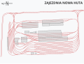 Zajezdnia Nowa Huta.svg 5,250 × 4,000; 59 KB
-
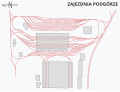 Zajezdnia Podgórze.svg 5,250 × 4,000; 51 KB
-
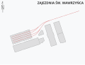 Zajezdnia św. Wawrzyńca.svg 5,250 × 4,000; 18 KB


