Category:Stadspark (Kampen)
Jump to navigation
Jump to search
| Object location | | View all coordinates using: OpenStreetMap |
|---|
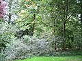
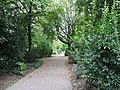
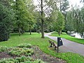
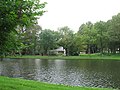
park in the Netherlands  | |||||
| Upload media | |||||
| Instance of | |||||
|---|---|---|---|---|---|
| Location | Kampen, Overijssel, Netherlands | ||||
| Heritage designation |
| ||||
 | |||||
|
This is a category about rijksmonument number 23450
|
| Address |
|
Media in category "Stadspark (Kampen)"
The following 9 files are in this category, out of 9 total.
-

-
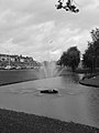
 Kampen - Stadspark (Kamper plantsoen).jpg 2,592 × 1,944; 2.31 MB
-
 Kampen 9-2011 (21).JPG 2,592 × 1,944; 2.46 MB
-
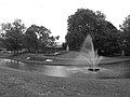
 Kampen 9-2011 (300).JPG 2,048 × 1,536; 1.86 MB
-
 Kampen 9-2011 (304).JPG 2,048 × 1,536; 1.33 MB
-
 Kampen 9-2011 (305).JPG 1,536 × 2,048; 1.67 MB
-
 Kampen 9-2011 (321).JPG 1,944 × 2,592; 1.11 MB
-
 Kampen 9-2011 (322).JPG 2,592 × 1,944; 1.38 MB
-
 Overstromingen, dijkdoorbraken Watersnood 1916, SFA022813729.jpg 3,346 × 2,416; 927 KB
_II.jpg)
.jpg)
.JPG)
.JPG)
.JPG)
.JPG)
.JPG)
.JPG)
