Category:United States Senate election maps of California (set)
Jump to navigation
Jump to search
States of the United States: Alabama · Alaska · Arizona · Arkansas · California · Colorado · Connecticut · Delaware · Florida · Hawaii · Idaho · Illinois · Indiana · Iowa · Kansas · Kentucky · Louisiana · Maine · Maryland · Massachusetts · Michigan · Minnesota · Mississippi · Missouri · Montana · Nebraska · Nevada · New Hampshire · New Jersey · New Mexico · New York · North Carolina · North Dakota · Ohio · Oklahoma · Oregon · Pennsylvania · Rhode Island · South Carolina · South Dakota · Tennessee · Texas · Utah · Vermont · Virginia · Washington · West Virginia · Wisconsin · Wyoming
This category is an image set. It should contain only images that have the same style, and should have a parent category that is purely topical.


not all sizes are equal
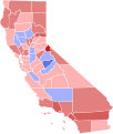
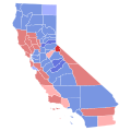
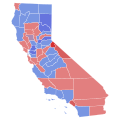
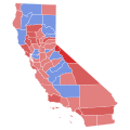
Media in category "United States Senate election maps of California (set)"
The following 40 files are in this category, out of 40 total.
-

-

-
-

-

-
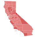
 1928 United States Senate Election in California by County.svg 744 × 744; 601 KB
-

-
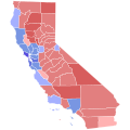
 1934 United States Senate Election in California by County.svg 744 × 744; 604 KB
-
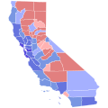
 1938 United States Senate Election in California by County.svg 744 × 744; 601 KB
-

-
-

-

-

-
-

-

-
-

-

-

-

-

-

-

-

-

-

-

-
-

-

-

-
-

-

-

-

-

-


