File:Črni vrh - smučarski dom.jpg
Jump to navigation
Jump to search

Size of this preview: 800 × 600 pixels. Other resolutions: 320 × 240 pixels | 640 × 480 pixels | 1,024 × 768 pixels | 1,280 × 960 pixels | 2,592 × 1,944 pixels.
Original file (2,592 × 1,944 pixels, file size: 1.11 MB, MIME type: image/jpeg)
Captions
Captions
Add a one-line explanation of what this file represents
Summary
[edit]
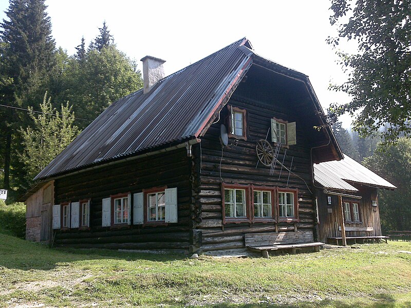
| Description | Črni vrh - smučasrki dom |
| Date | |
| Source | Črni vrh - smučasrki dom |
| Author | dominkod |
| Camera location | | View this and other nearby images on: OpenStreetMap |
|---|
Licensing
[edit]
This file is licensed under the Creative Commons Attribution 3.0 Unported license.
- You are free:
- to share – to copy, distribute and transmit the work
- to remix – to adapt the work
- Under the following conditions:
- attribution – You must give appropriate credit, provide a link to the license, and indicate if changes were made. You may do so in any reasonable manner, but not in any way that suggests the licensor endorses you or your use.
| This image, which was originally posted to Panoramio, was reviewed on 24 August 2011 by the administrator or trusted user Warfieldian, who confirmed that it was available on Panoramio under the above license on that date. |
File history
Click on a date/time to view the file as it appeared at that time.
| Date/Time | Thumbnail | Dimensions | User | Comment | |
|---|---|---|---|---|---|
| current | 06:33, 24 August 2011 | | 2,592 × 1,944 (1.11 MB) | Sporti (talk | contribs) | {{Information |Description=Črni vrh - smučasrki dom |Source=[http://www.panoramio.com/photo/31894829 Črni vrh - smučasrki dom] |Date=2009-08-21 10:20 |Author=[http://www.panoramio.com/user/4115574 dominkod] |Permission= |other_versions= }} {{Location |
You cannot overwrite this file.
File usage on Commons
The following 2 pages use this file:
- File:Črni vrh - smučasrki dom.jpg (file redirect)
- Category:Ski Lodge of Črni vrh
File usage on other wikis
The following other wikis use this file:
- Usage on bs.wikipedia.org
- Usage on de.wikipedia.org
- Usage on sl.wikipedia.org
- Usage on sr.wikipedia.org
- Usage on www.wikidata.org