File:Карта морских открытий российскими мореплавателями.jpg
Jump to navigation
Jump to search

Size of this preview: 800 × 504 pixels. Other resolutions: 320 × 202 pixels | 640 × 403 pixels | 1,024 × 645 pixels | 1,280 × 806 pixels | 2,560 × 1,612 pixels | 3,666 × 2,309 pixels.
Original file (3,666 × 2,309 pixels, file size: 1.19 MB, MIME type: image/jpeg)
Captions
Captions
Add a one-line explanation of what this file represents
Summary[edit]
| Description |
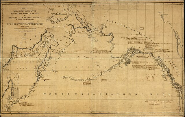
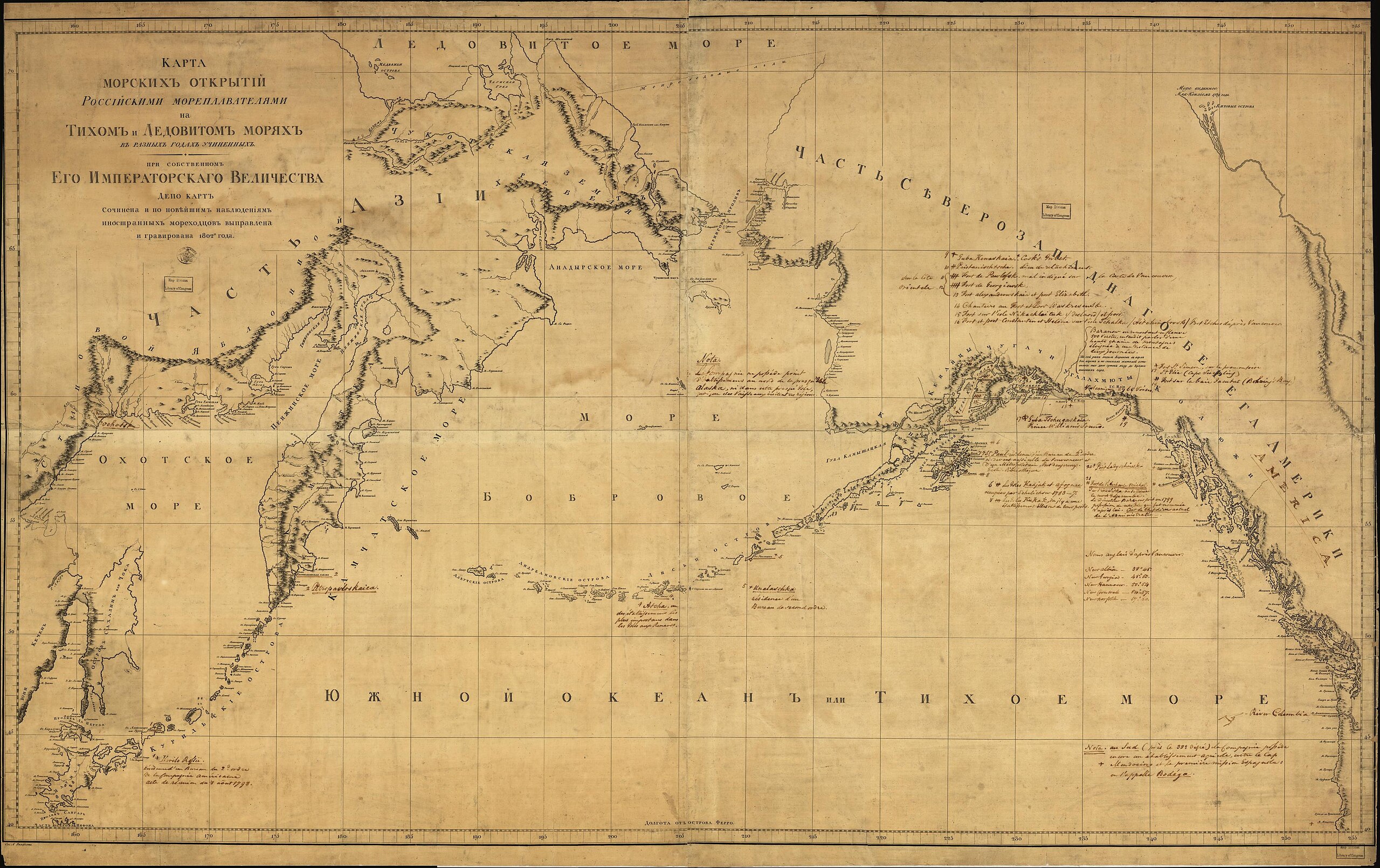
Русский: Карта морских открытий российскими мореплавателями на Тихом и Ледовитом морях в разных годах учиненных. При собственном Его Императорскаго Величества. Сочинена и по новейшим наблюдениям иностранных мореходцов выправлена и гравирована |
||
| Date | |||
| Source |
|
||
| Author | Unknown author |

Licensing[edit]
|
This work is in the public domain in its country of origin and other countries and areas where the copyright term is the author's life plus 100 years or fewer. | |
| This file has been identified as being free of known restrictions under copyright law, including all related and neighboring rights. | |
File history
Click on a date/time to view the file as it appeared at that time.
| Date/Time | Thumbnail | Dimensions | User | Comment | |
|---|---|---|---|---|---|
| current | 16:28, 6 May 2023 | | 3,666 × 2,309 (1.19 MB) | Ориенталист (talk | contribs) | quality |
| 16:59, 28 October 2016 |  | 1,833 × 1,155 (387 KB) | Alpunin (talk | contribs) | User created page with UploadWizard |
You cannot overwrite this file.
File usage on Commons
The following 2 pages use this file:
File usage on other wikis
The following other wikis use this file:
- Usage on fr.wikipedia.org
- Usage on hy.wikipedia.org
- Usage on ru.wikipedia.org
- Usage on uz.wikipedia.org