File:Карта фон Міга, Хом'яківка (Нагірянка).png
Jump to navigation
Jump to search
No higher resolution available.
Карта_фон_Міга,_Хом'яківка_(Нагірянка).png (515 × 382 pixels, file size: 298 KB, MIME type: image/png)
Captions
Captions
Add a one-line explanation of what this file represents
Summary
[edit].png&action=edit§ion=1)
| Description |
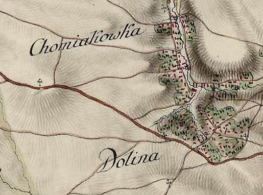
Українська: XIX ст. |
| Date | XIX ст. |
| Source | https://mapire.eu/en/map/europe-18century-firstsurvey/?bbox=2856304.156972967%2C6262592.937949277%2C2870846.3016042216%2C6267370.252217101&layers=163%2C165 |
| Author | http://mapire.eu/ Military survey Habsburg Empire. |
Licensing
[edit].png&action=edit§ion=2)
|
This work is in the public domain in its country of origin and other countries and areas where the copyright term is the author's life plus 100 years or fewer. | |
| This file has been identified as being free of known restrictions under copyright law, including all related and neighboring rights. | |
File history
Click on a date/time to view the file as it appeared at that time.
| Date/Time | Thumbnail | Dimensions | User | Comment | |
|---|---|---|---|---|---|
| current | 08:10, 21 February 2021 | | 515 × 382 (298 KB) | Максим Огородник (talk | contribs) | == Опис файлу == {{Information |Description ={{uk|1=XIX ст.}} |Source =https://mapire.eu/en/map/europe-18century-firstsurvey/?bbox=2856304.156972967%2C6262592.937949277%2C2870846.3016042216%2C6267370.252217101&layers=163%2C165 |Author =http://mapire.eu/ Military survey Habsburg Empire. |Date =XIX ст. |Permission = |other_versions = }} =={{int:license-header}}== {{PD-old-100}} {{Move to Commons|Chortkiv}} Category:Chortkiv |
You cannot overwrite this file.
File usage on Commons
The following page uses this file:
File usage on other wikis
The following other wikis use this file:
- Usage on uk.wikipedia.org
- Usage on www.wikidata.org
.png&oldid=760342349)