File:00 0411 Peyreleau depuis Le Rozier - Gorges de la Jonte.jpg
(Redirected from File:00 0411 Le Rozier - Gorges de la Jonte.jpg)
Size of this preview: 400 × 600 pixels. Other resolutions: 160 × 240 pixels | 320 × 480 pixels | 512 × 768 pixels | 682 × 1,024 pixels | 1,600 × 2,400 pixels.
Original file (1,600 × 2,400 pixels, file size: 3.74 MB, MIME type: image/jpeg)
Captions
Captions
Add a one-line explanation of what this file represents
Summary[edit]
| Description |
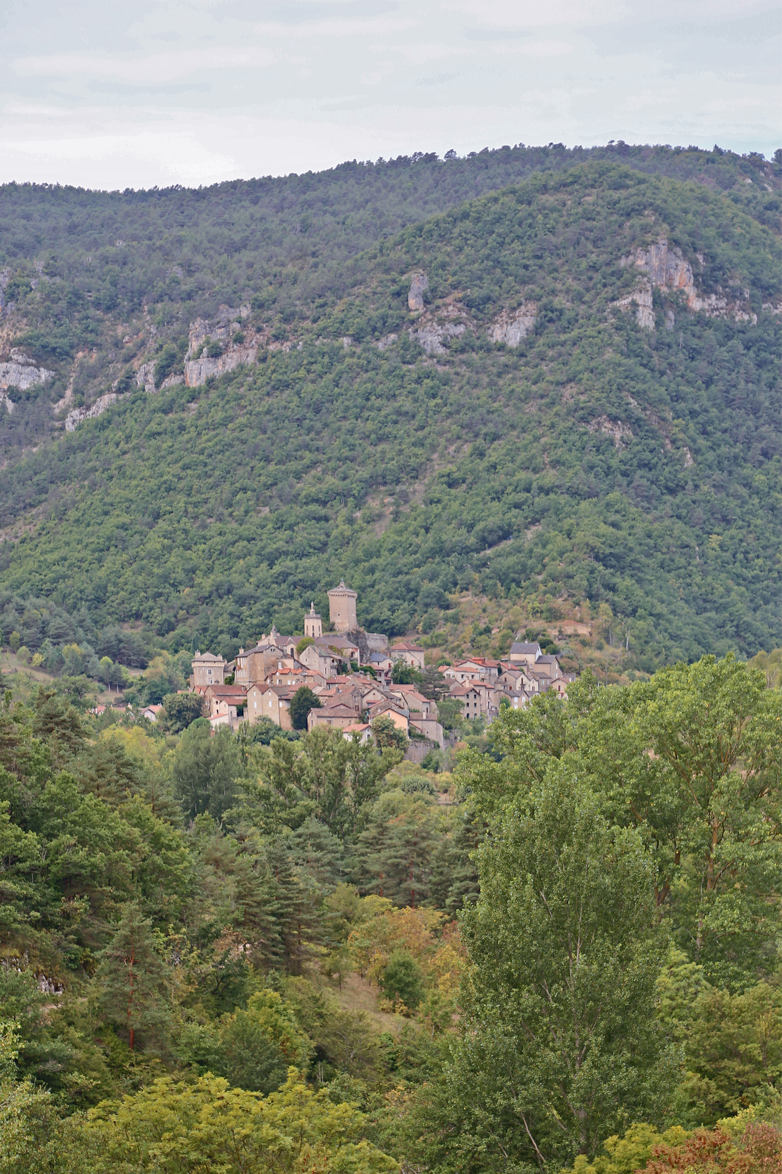
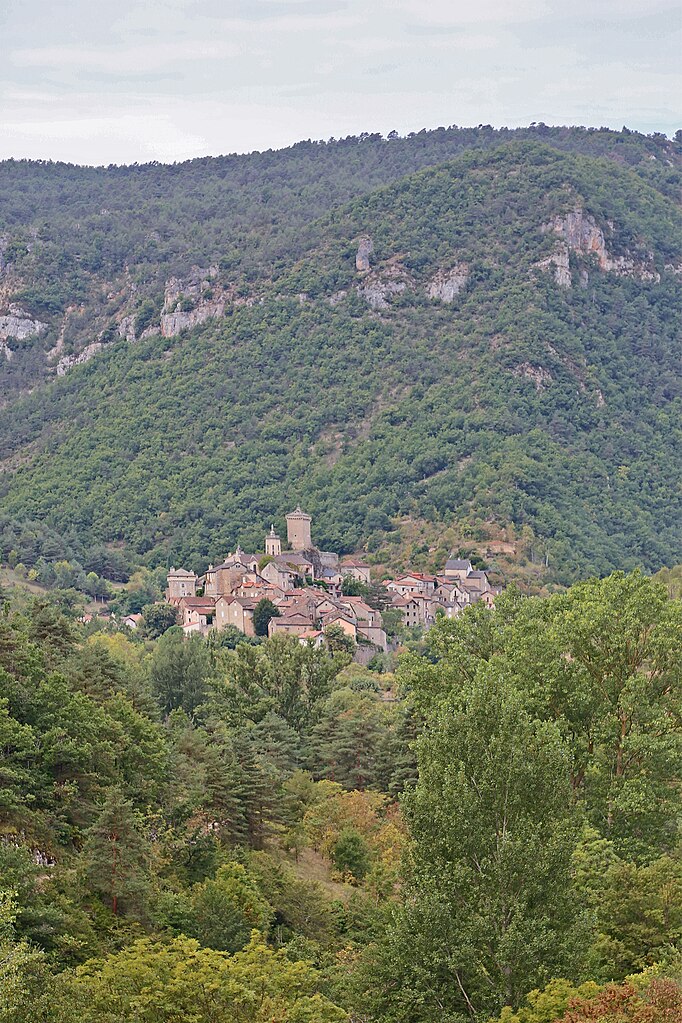
Deutsch: Peyreleau: Die französische Gemeinde liegt in der Schlucht "Gorges de la Jonte" im Nationalpark Cevennen.
Simple English: Peyreleau: The French commune is located in the Gorges de la Jonte gorge in the Cévennes National Park.
Français : Le bourg de Peyreleau (Aveyron) vu depuis la commune du Rozier (Lozère), dans le parc national des Cévennes, France. |
| Date | |
| Source | Own work |
| Author | W. Bulach |
| Camera location | | View this and other nearby images on: OpenStreetMap |
|---|
Licensing[edit]
I, the copyright holder of this work, hereby publish it under the following license:
This file is licensed under the Creative Commons Attribution-Share Alike 4.0 International license.
- You are free:
- to share – to copy, distribute and transmit the work
- to remix – to adapt the work
- Under the following conditions:
- attribution – You must give appropriate credit, provide a link to the license, and indicate if changes were made. You may do so in any reasonable manner, but not in any way that suggests the licensor endorses you or your use.
- share alike – If you remix, transform, or build upon the material, you must distribute your contributions under the same or compatible license as the original.
File history
Click on a date/time to view the file as it appeared at that time.
| Date/Time | Thumbnail | Dimensions | User | Comment | |
|---|---|---|---|---|---|
| current | 12:02, 9 October 2018 | | 1,600 × 2,400 (3.74 MB) | W. Bulach (talk | contribs) | User created page with UploadWizard |
You cannot overwrite this file.
File usage on Commons
The following page uses this file:
- File:00 0411 Le Rozier - Gorges de la Jonte.jpg (file redirect)