File:03810jfSanto Niño Poblacion Banga Bagong Silang Roads Plaridel Bulacanfvf 36.JPG
Jump to navigation
Jump to search

Size of this preview: 800 × 600 pixels. Other resolutions: 320 × 240 pixels | 640 × 480 pixels | 1,024 × 768 pixels | 1,280 × 960 pixels | 2,560 × 1,920 pixels | 4,608 × 3,456 pixels.
Original file (4,608 × 3,456 pixels, file size: 7.09 MB, MIME type: image/jpeg)
Captions
Captions
Add a one-line explanation of what this file represents
Summary
[edit]
| Description |
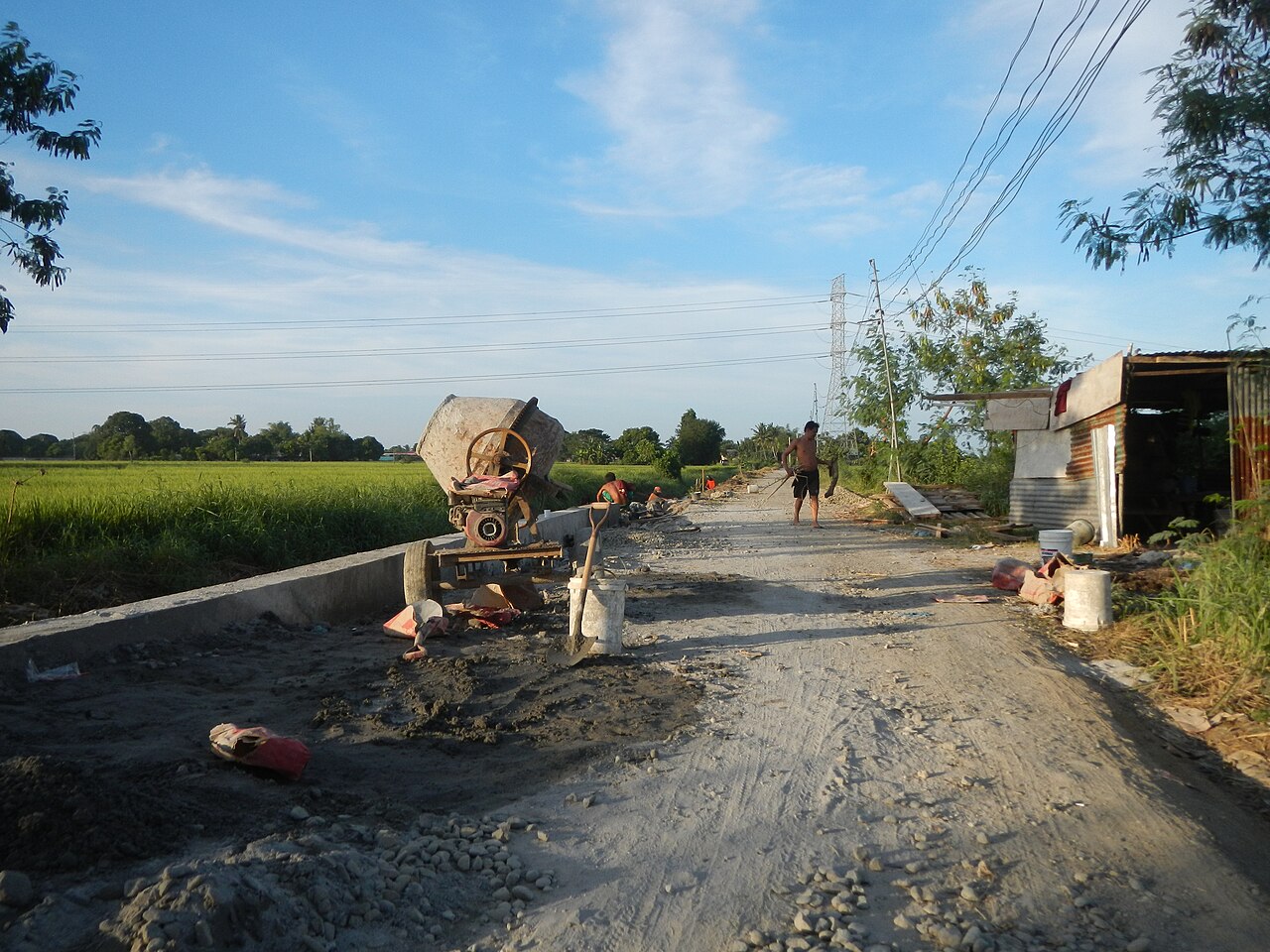
English: Barangay Bagong Silang, Plaridel, Bulacan, Sitio Sumilang Welcome Arch, Chapel, Fields, (along the interior Bigaa-Plaridel via Malolos and Bulacan Road K00 50+109 to 50+205 Plaridel, Bulacan, being Widened repaired, or Governor Padilla-Cagayan Valley Roads in Guiguinto-Plaridel-Malolos, Bulacan [1] corner - Maharlika Highway (Cagayan Valley Road, Baliuag-Pulilan-Guiguinto, Bulacan) starting from Santa Rita, Guiguinto to Banga 1st to Santo Nino, Plaridel in Nabuag Bridge, NLEx Overpass, connected by the New Plaridel-Pulilan Bridge, upon Angat River along Plaridel, Bulacan with Irrigation canal in Plaridel, Bulacan, interconnecting with the San-Rafael-Bustos-Plaridel-Balagtas by-pass road from the Pan-Philippine Highway, also known as the Maharlika "Nobility/freeman" Highway or Asian Highway 26, in Maharlika Highway (Cagayan Valley Road, Baliuag-Pulilan-Guiguinto, Bulacan) in Jollibee and Massway Supermarket crossing, junction). |
| Date | |
| Source | Own work |
| Author | Judgefloro |
Licensing
[edit]
| I, the copyright holder of this work, release this work into the public domain. This applies worldwide. In some countries this may not be legally possible; if so: I grant anyone the right to use this work for any purpose, without any conditions, unless such conditions are required by law. |
File history
Click on a date/time to view the file as it appeared at that time.
| Date/Time | Thumbnail | Dimensions | User | Comment | |
|---|---|---|---|---|---|
| current | 13:22, 28 October 2015 | | 4,608 × 3,456 (7.09 MB) | Judgefloro (talk | contribs) | User created page with UploadWizard |
You cannot overwrite this file.
File usage on Commons
There are no pages that use this file.