File:05765jfHighway Santa Maria Churches Pangasinan Tayug Landmarksfvf 15.JPG
Jump to navigation
Jump to search

Size of this preview: 800 × 600 pixels. Other resolutions: 320 × 240 pixels | 640 × 480 pixels | 1,024 × 768 pixels | 1,280 × 960 pixels | 2,560 × 1,920 pixels | 4,608 × 3,456 pixels.
Original file (4,608 × 3,456 pixels, file size: 6.33 MB, MIME type: image/jpeg)
Captions
Captions
Add a one-line explanation of what this file represents
Summary
[edit]
| Description |
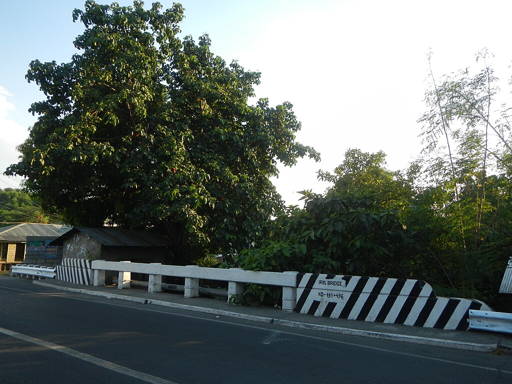
English: Pangasinan-Nueva Vizcaya Road (Tayug, Pangasinan section) in Santa Maria-Tayug, Pangasinan Provincial Road upon the Santa Maria-Tayug, Pangasinan Welcome arch in List of barangays in Pangasinan, Barangays of Pangasinan, Barangay Barangobong beside Magallanes, Evangelista, Magallanes Bridge K0 192+588 K 194 T 2, New Magallanes Road, Carino Bridge, K 194+135 20 metric Tons load limit Barangay Poblacion A, Barangay Poblacion B, Barangay Poblacion C, Barangay Poblacion D and Trenchera, Iris Bridge Km 195+442 496 Tayug, Pangasinan from Barangay Poblacion East and San Vicente, Santa Maria, Pangasinan, Pangasinan Province (from and along the Asingan, Pangasinan Provincial Road connecting from Villasis-Asingan, Pangasinan Provincial Road from MacArthur Highway (Villasis, Pangasinan section) and MacArthur Highway (Rosales, Pangasinan section) of MacArthur Highway or Manila North Road). |
| Date | |
| Source | Own work |
| Author | Judgefloro |
Licensing
[edit]
| I, the copyright holder of this work, release this work into the public domain. This applies worldwide. In some countries this may not be legally possible; if so: I grant anyone the right to use this work for any purpose, without any conditions, unless such conditions are required by law. |
File history
Click on a date/time to view the file as it appeared at that time.
| Date/Time | Thumbnail | Dimensions | User | Comment | |
|---|---|---|---|---|---|
| current | 10:41, 12 April 2016 | | 4,608 × 3,456 (6.33 MB) | Judgefloro (talk | contribs) | User created page with UploadWizard |
You cannot overwrite this file.
File usage on Commons
There are no pages that use this file.