File:09767jfCity Gate Clark Marcos River Bridge Calumpang Pampanga Roadfvf 15.JPG
Jump to navigation
Jump to search

Size of this preview: 800 × 600 pixels. Other resolutions: 320 × 240 pixels | 640 × 480 pixels | 1,024 × 768 pixels | 1,280 × 960 pixels | 2,560 × 1,920 pixels | 4,608 × 3,456 pixels.
Original file (4,608 × 3,456 pixels, file size: 6.37 MB, MIME type: image/jpeg)
Captions
Captions
Add a one-line explanation of what this file represents
Summary
[edit]
| Description |
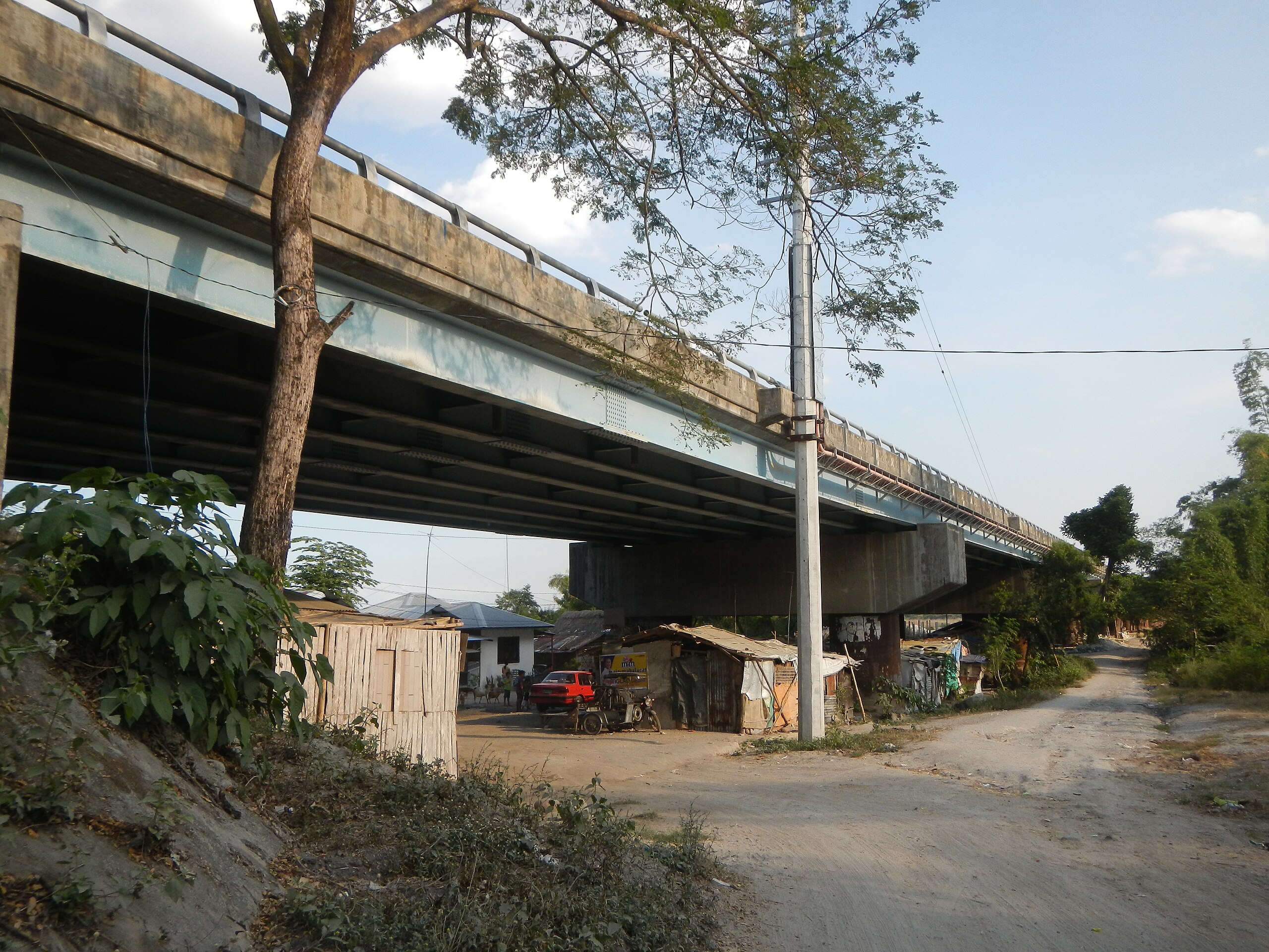
English: Barangay Calumpang, Mabalacat City, Pampanga PMG-4331 2012 DENR III, to Paradise Ranch, Green Canyon, Ancestral Domain Claim of 5,515 hectares, Approved on November 21, 1997 by DENR, Lahars in the Philippines Marcos Village-Calumpang, Mabalacat City, Pampanga Sacobia Bridge, River, Lahar and Quarry from the Mabalacat City Gate-Gil Puyat-Panday Pira-Prince Balagtas Avenues-Clark Freeport Zone-Marcos Village, Mabalacat City Road, formerly "Negrito Village" Prince Balagtas Avenue, Clark Freeport Zone, Marcos Village Gate (along MacArthur Highway (Mabalacat, Pampanga section) part of the Mabalacat, Pampanga-Bamban, Tarlac Road (MacArthur Highway). |
| Date | |
| Source | Own work |
| Author | Judgefloro |
Licensing
[edit]
| I, the copyright holder of this work, release this work into the public domain. This applies worldwide. In some countries this may not be legally possible; if so: I grant anyone the right to use this work for any purpose, without any conditions, unless such conditions are required by law. |
File history
Click on a date/time to view the file as it appeared at that time.
| Date/Time | Thumbnail | Dimensions | User | Comment | |
|---|---|---|---|---|---|
| current | 20:17, 13 February 2016 | | 4,608 × 3,456 (6.37 MB) | Judgefloro (talk | contribs) | User created page with UploadWizard |
You cannot overwrite this file.
File usage on Commons
There are no pages that use this file.