File:13-09-29-Sand im Meer-N3S 9136.jpg
Jump to navigation
Jump to search

Size of this preview: 800 × 531 pixels. Other resolutions: 320 × 213 pixels | 640 × 425 pixels | 1,024 × 680 pixels | 1,280 × 850 pixels | 2,560 × 1,700 pixels | 4,288 × 2,848 pixels.
Original file (4,288 × 2,848 pixels, file size: 3.99 MB, MIME type: image/jpeg)
Captions
Captions
Add a one-line explanation of what this file represents
| Description |
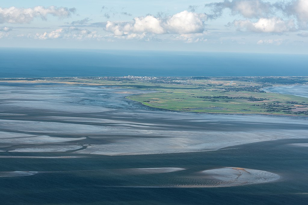
Deutsch: Fotoflug über das nordfriesische Wattenmeer |
|||||||||||||||||||||||
| Date | ||||||||||||||||||||||||
| Source | Own work | |||||||||||||||||||||||
| Author |
|
|||||||||||||||||||||||
| Permission (Reusing this file) |
|
|||||||||||||||||||||||

| Camera location | | View this and other nearby images on: OpenStreetMap |
|---|
I, the copyright holder of this work, hereby publish it under the following licenses:

|
Permission is granted to copy, distribute and/or modify this document under the terms of the GNU Free Documentation License, Version 1.2 or any later version published by the Free Software Foundation; with no Invariant Sections, no Front-Cover Texts, and no Back-Cover Texts. A copy of the license is included in the section entitled GNU Free Documentation License. |
This file is licensed under the Creative Commons Attribution-Share Alike 3.0 Unported, 2.5 Generic, 2.0 Generic and 1.0 Generic license.
- You are free:
- to share – to copy, distribute and transmit the work
- to remix – to adapt the work
- Under the following conditions:
- attribution – You must give appropriate credit, provide a link to the license, and indicate if changes were made. You may do so in any reasonable manner, but not in any way that suggests the licensor endorses you or your use.
- share alike – If you remix, transform, or build upon the material, you must distribute your contributions under the same or compatible license as the original.
You may select the license of your choice.

- Weiternutzung dieses Fotos
- Wenn Sie dieses Foto im Internet verwenden möchten, bitte ich um Verlinkung meiner privaten Homepage: www.fahrradmonteur.de.
Sie können das Bild unter einer der unten angegebenen Lizenzen frei verwenden, dabei ist keine Gebühr zu entrichten. Eine kommerzielle Verwendung dieses Fotos ist ebenfalls möglich, dabei sind außer den u. g. Lizenzbestimmungen keine gesonderten Bedingungen zu beachten.
| Dieses Foto entstand aufgrund eines Projektes, das von Wikimedia Deutschland e. V. gefördert wurde.
Im Rahmen des „Community-Projektbudgets“ sollen Luftbilder u.a. von Inseln, Halligen, Sanden und Küstenstädten der deutschen Nordseeküste angefertigt werden. Das Projekt „Fotoflüge“ wurde im September 2011 begonnen. |
File history
Click on a date/time to view the file as it appeared at that time.
| Date/Time | Thumbnail | Dimensions | User | Comment | |
|---|---|---|---|---|---|
| current | 10:59, 20 August 2017 | | 4,288 × 2,848 (3.99 MB) | Ralf Roletschek (talk | contribs) | {{Information |Description={{de|Fotoflug über das nordfriesische Wattenmeer}} |Date=2013-09-29 |Source={{own}} |Author={{User:Ralf Roletschek/Autor}} |Permission={{User:Ralf Roletschek/Autor2}} |other_versions= }} {{self|GFDL|cc-by-sa-3.0,2.5,2.0,1.0}... |
You cannot overwrite this file.
File usage on Commons
The following page uses this file:
File usage on other wikis
The following other wikis use this file:
- Usage on de.wikipedia.org