File:1782 Map of the island of Nantucket by Crèvecoeur BPL n48579.png
Jump to navigation
Jump to search
Size of this preview: 800 × 587 pixels. Other resolutions: 320 × 235 pixels | 640 × 470 pixels | 933 × 685 pixels.
Original file (933 × 685 pixels, file size: 1.1 MB, MIME type: image/png)
Captions
Captions
Add a one-line explanation of what this file represents
| Description |
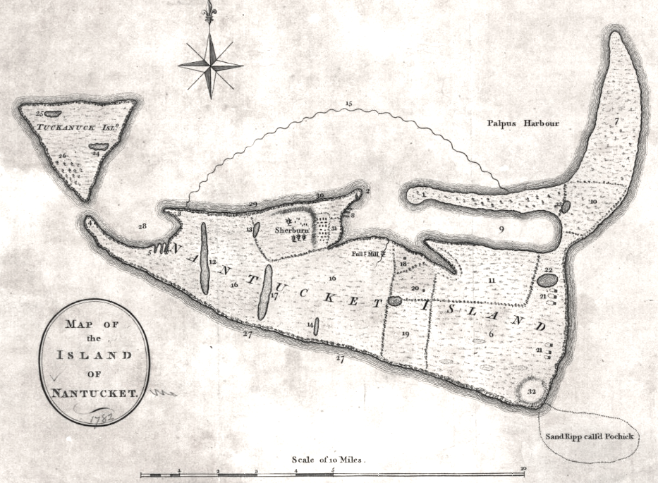
Map of the island of Nantucket Author: St. John de Crèvecoeur, J. Hector Date: 1782 Dimensions: 20 x 28 cm. Scale: ca. 1:110,000 Reference: LC Maps of North America, 1750-1789, 882 Call Number: From the Collections of the Geography and Map Division, Library of Congress |
| Date | |
| Source | Boston Public Library. http://maps.bpl.org/id/n48579 |
| Author | J. Hector St. John de Crèvecoeur |
|
This work is in the public domain in its country of origin and other countries and areas where the copyright term is the author's life plus 100 years or fewer. | |
| This file has been identified as being free of known restrictions under copyright law, including all related and neighboring rights. | |
File history
Click on a date/time to view the file as it appeared at that time.
| Date/Time | Thumbnail | Dimensions | User | Comment | |
|---|---|---|---|---|---|
| current | 12:23, 2 August 2013 | | 933 × 685 (1.1 MB) | M2545 (talk | contribs) | {{Information |Description=Map of the island of Nantucket Author: St. John de Crèvecoeur, J. Hector Date: 1782 Dimensions: 20 x 28 cm. Scale: ca. 1:110,000 Reference: LC Maps of North America, 1750-1789, 882 Call Number: From the Collections of ... |
You cannot overwrite this file.
File usage on Commons
There are no pages that use this file.
File usage on other wikis
The following other wikis use this file:
- Usage on en.wikipedia.org