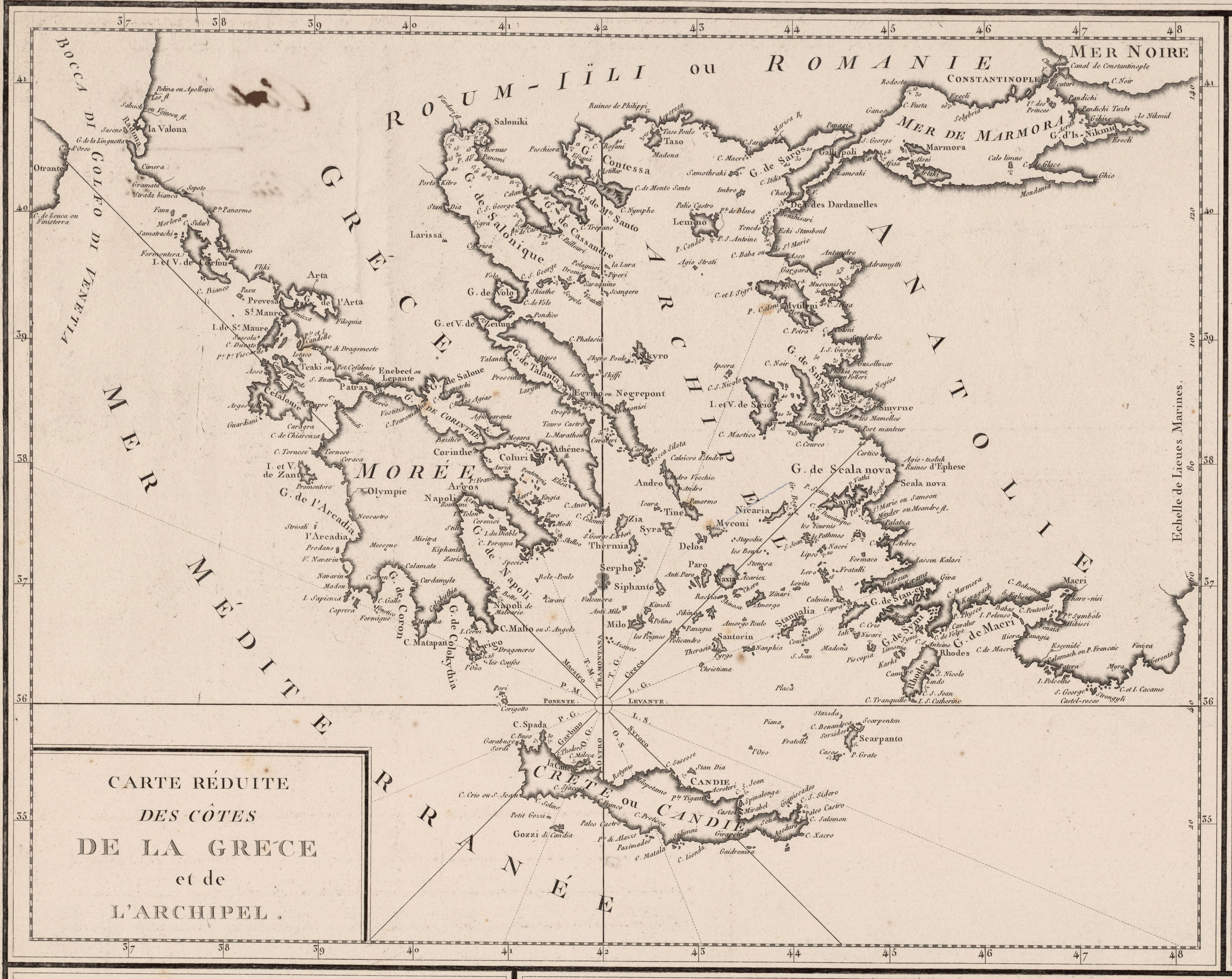
File:1785 - Carte réduite des côtes de la Grèce et de L'Archipel (cropped).jpg
Jump to navigation
Jump to search
Size of this preview: 755 × 600 pixels. Other resolutions: 302 × 240 pixels | 604 × 480 pixels | 967 × 768 pixels | 1,280 × 1,017 pixels | 2,560 × 2,034 pixels | 4,585 × 3,643 pixels.
Original file (4,585 × 3,643 pixels, file size: 2.55 MB, MIME type: image/jpeg)
Captions
Captions
Add a one-line explanation of what this file represents
Summary
[edit]| Description |
English: 1785 maps of Constantinople, the Bosphorus, the Sea of Marmara and the Aegean Sea |
||
| Date | |||
| Source |
|
||
| Author | Auteur : Tardieu, P.F. (17..-18.. ; graveur vers 1788). Graveur Auteur : Aubert, J.-B.-L. (17..-18.. ; graveur). Graveur en lettres Éditeur : Moutardier Libraire (Paris) | ||
| Other versions |

.jpg&action=edit§ion=1)
Licensing
[edit].jpg&action=edit§ion=2)
|
This work is in the public domain in its country of origin and other countries and areas where the copyright term is the author's life plus 70 years or fewer. This work is in the public domain in the United States because it was published (or registered with the U.S. Copyright Office) before January 1, 1929. | |
| This file has been identified as being free of known restrictions under copyright law, including all related and neighboring rights. | |
File history
Click on a date/time to view the file as it appeared at that time.
| Date/Time | Thumbnail | Dimensions | User | Comment | |
|---|---|---|---|---|---|
| current | 15:46, 27 June 2020 | | 4,585 × 3,643 (2.55 MB) | Balkanique (talk | contribs) | File:1785 - Carte de la ville de Constantinople et du Bosphore de Thrace - Carte de la Mer de Marmora - Carte réduite des côtes de la Grèce et de L'Archipel.jpg cropped 60 % horizontally, 51 % vertically using CropTool with lossless mode. |
You cannot overwrite this file.
File usage on Commons
The following 2 pages use this file:
.jpg&oldid=744732425)