File:1854 Duval Public Survey Map of California - Geographicus - CA-ls-1854.jpg
Original file (5,000 × 2,198 pixels, file size: 1.17 MB, MIME type: image/jpeg)
Captions
Captions
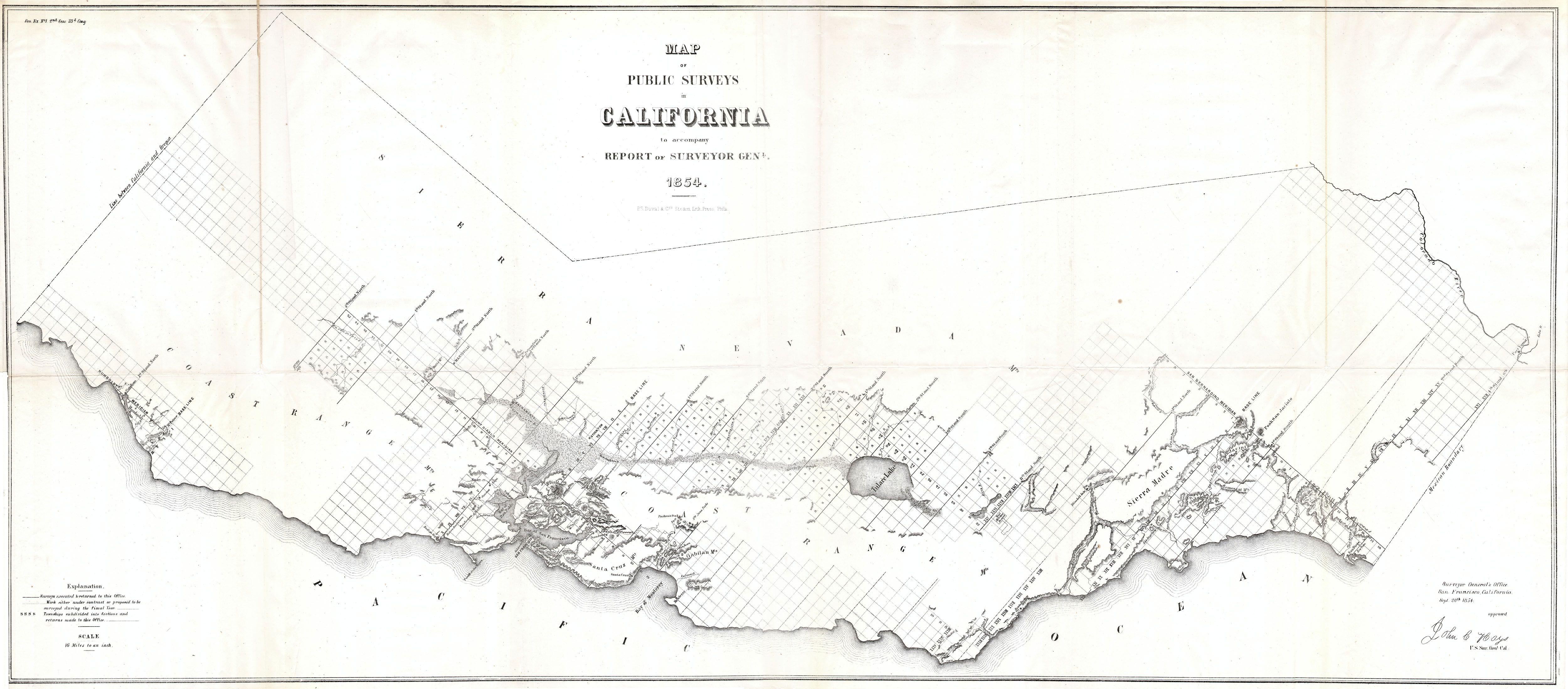
| Map of the Public Surveys in California to accompany the Report of the Surveyor General 1854 | ||||||
|---|---|---|---|---|---|---|
| Artist | ||||||
| Title |
Map of the Public Surveys in California to accompany the Report of the Surveyor General 1854 |
|||||
| Description |
English: This magnificent map is one of the rarest and most sought after early Land Survey maps of California. Dates to 1854.
|
|||||
| Date | 1854 | |||||
| Dimensions | height: 21 in (53.3 cm); width: 48 in (121.9 cm) | |||||
| Accession number |
Geographicus link: CA-ls-1854 |
|||||
| Source/Photographer |
|
|||||
| Permission (Reusing this file) |
|
|||||
File history
Click on a date/time to view the file as it appeared at that time.
| Date/Time | Thumbnail | Dimensions | User | Comment | |
|---|---|---|---|---|---|
| current | 16:08, 24 March 2011 | | 5,000 × 2,198 (1.17 MB) | BotMultichillT (talk | contribs) | {{subst:User:Multichill/Geographicus |link=http://www.geographicus.com/P/AntiqueMap/CA-ls-1854 |product_name=1854 Duval Public Survey Map of California |map_title=Map of the Public Surveys in California to accompany the Report of the Surveyor General 1854 |
You cannot overwrite this file.
File usage on Commons
The following page uses this file: