File:1945.02.12. Plan der Zerstörungen Nürnbergs.jpg
Jump to navigation
Jump to search

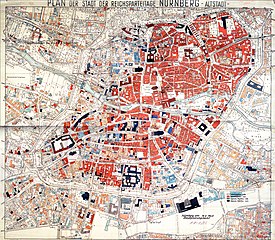
Size of this preview: 687 × 599 pixels. Other resolutions: 275 × 240 pixels | 550 × 480 pixels | 880 × 768 pixels | 1,174 × 1,024 pixels | 2,347 × 2,048 pixels | 4,081 × 3,561 pixels.
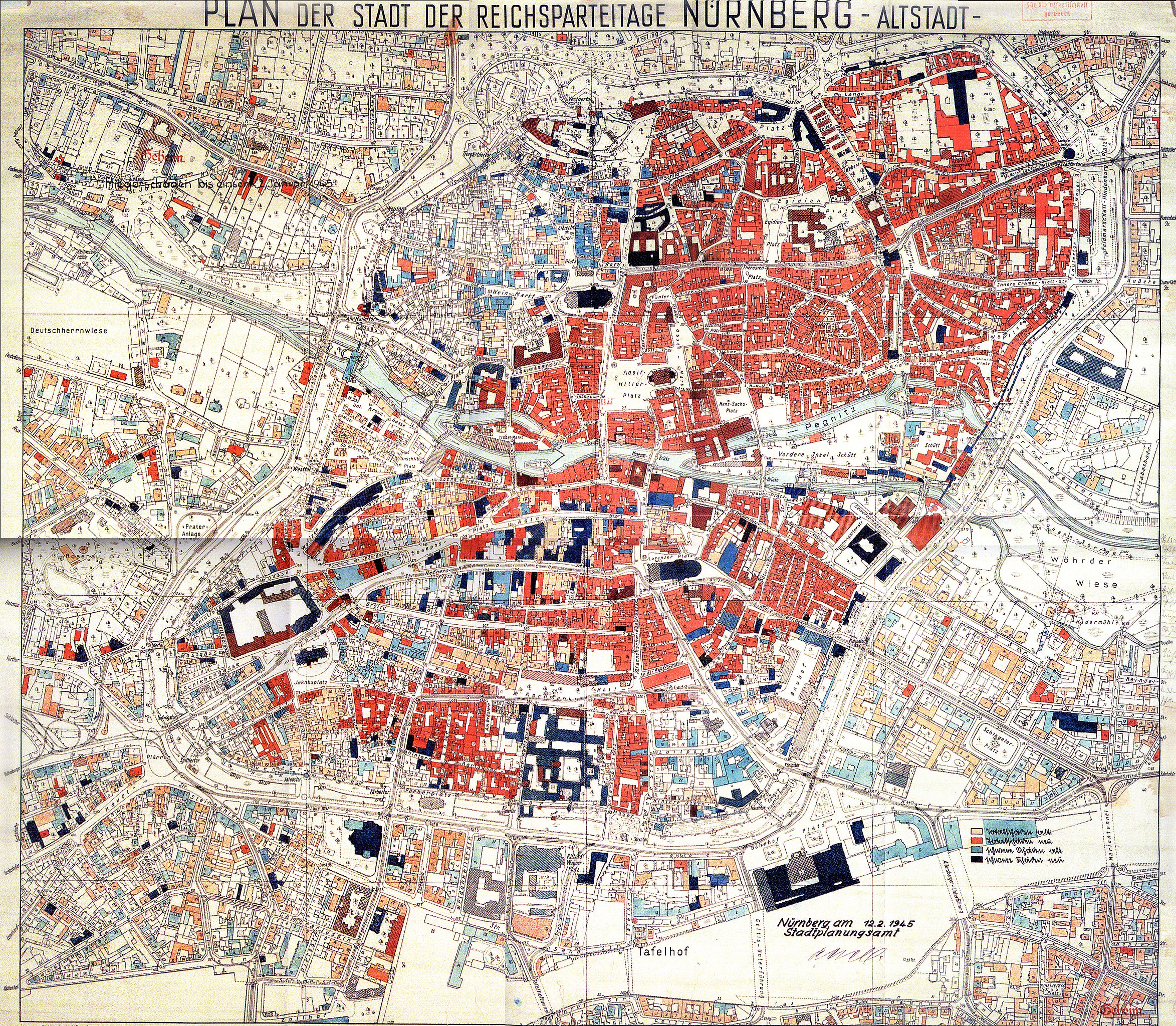
Original file (4,081 × 3,561 pixels, file size: 10.8 MB, MIME type: image/jpeg)
Captions
Captions
Add a one-line explanation of what this file represents
Summary
[edit]
| Description |
English: Map of Nuremberg showing the damage caused by Allied air raids
Color legend:

Deutsch: Karte Nürnbergs mit Luftkriegsschäden
Farblegende:
|
| Date | |
| Source | Stadt Nürnberg |
| Author | Stadt Nürnberg |
Licensing
[edit]
| This image is in the public domain according to German copyright law because it is part of a statute, ordinance, official decree or judgment (official work) issued by a German authority or court (§ 5 Abs.1 UrhG).
|
 |
File history
Click on a date/time to view the file as it appeared at that time.
| Date/Time | Thumbnail | Dimensions | User | Comment | |
|---|---|---|---|---|---|
| current | 17:57, 2 March 2011 | | 4,081 × 3,561 (10.8 MB) | Freud (talk | contribs) | {{Information |Description ={{en|1=Map of Nuremberg showing the damage caused by Allied air raids}} {{de|1=Karte Nürnbergs mit Luftkriegsschäden}} |Source =Stadt Nürnberg |Author =Stadt Nürnberg |Date =1945-02-12 |Permissi |
You cannot overwrite this file.
File usage on Commons
There are no pages that use this file.
File usage on other wikis
The following other wikis use this file:
- Usage on de.wikipedia.org
- Usage on en.wikipedia.org
- Usage on sl.wikipedia.org