File:20100602 Heesterpoort 1 (Simon van Hasseltschool) Groningen NL.jpg
Jump to navigation
Jump to search

Size of this preview: 800 × 533 pixels. Other resolutions: 320 × 213 pixels | 640 × 427 pixels | 1,024 × 683 pixels | 1,280 × 853 pixels | 3,000 × 2,000 pixels.
Original file (3,000 × 2,000 pixels, file size: 4.05 MB, MIME type: image/jpeg)
Captions
Captions
Add a one-line explanation of what this file represents
| Description |
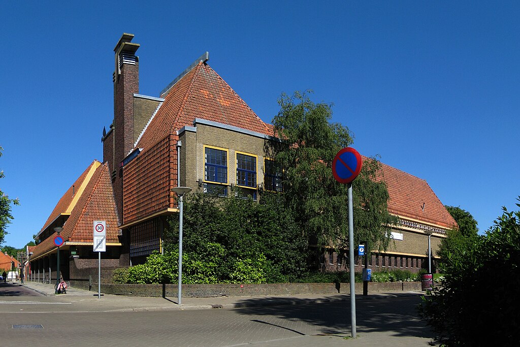
Frysk: De Simon van Hasseltskoalle op de súdeasthoeke fan de Heesterpoort en de Zaagmuldersweg yn de Grinzer Oosterparkwijk. De skoalle, dy't setten is yn 1926-'28, waard ûntwurpen troch de Grinzer gemeente-arsjitekt S.J. Bouma (1899-1959). It gebou is in ryksmonumint (rm 483488).
Nederlands: De Simon van Hasseltschool op de hoek van de Heesterpoort en de Zaagmuldersweg in de Groninger Oosterparkwijk (1926-'28, S.J. Bouma, rm 483488).
|
||
| Date | |||
| Source | Own work | ||
| Author | Wutsje | ||
| Permission (Reusing this file) |
This file is licensed under the Creative Commons Attribution-Share Alike 3.0 Unported license.
|
||
| Attribution (required by the license) | Wutsje / Wikimedia Commons / | ||
| Camera location | | View this and other nearby images on: OpenStreetMap |
|---|
_Groningen_NL.jpg¶ms=053.223075_N_0006.583036_E_globe:Earth_type:camera_region:NL_heading:112.50&language=en)
File history
Click on a date/time to view the file as it appeared at that time.
| Date/Time | Thumbnail | Dimensions | User | Comment | |
|---|---|---|---|---|---|
| current | 00:24, 3 June 2010 | | 3,000 × 2,000 (4.05 MB) | Wutsje (talk | contribs) | {{Information |Description={{en|1=School (1926-1928) in the Dutch city of Groningen.}} {{fy|1=De ''Simon van Hasseltschool'' op de hoeke fan de ''Heesterpoort'' en de ''Zaagmuldersweg'' yn de [[:Category:Groningen (city)|Gri |
You cannot overwrite this file.
File usage on Commons
The following 2 pages use this file:
_Groningen_NL.jpg&redirect=no)
File usage on other wikis
The following other wikis use this file:
- Usage on eo.wikipedia.org
- Usage on fy.wikipedia.org
- Usage on nl.wikipedia.org
- Usage on www.wikidata.org
_Groningen_NL.jpg&oldid=857806692)