File:2017-03 Brescia Mattes Pana (156).JPG
Jump to navigation
Jump to search

Size of this preview: 294 × 600 pixels. Other resolutions: 117 × 240 pixels | 235 × 480 pixels | 376 × 768 pixels | 502 × 1,024 pixels | 1,462 × 2,983 pixels.
Original file (1,462 × 2,983 pixels, file size: 2.99 MB, MIME type: image/jpeg)
Captions
Captions
Add a one-line explanation of what this file represents
Summary
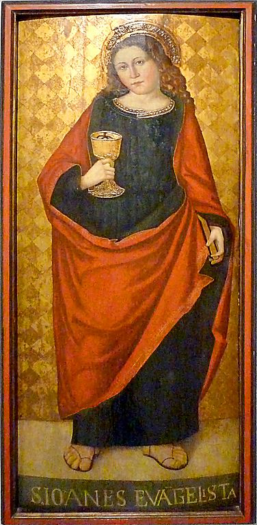
Object
| Saint John the Evangelist | ||||||||||||||||||||||||
|---|---|---|---|---|---|---|---|---|---|---|---|---|---|---|---|---|---|---|---|---|---|---|---|---|
| Artist |
Unknown author |
|||||||||||||||||||||||
| Title |
Saint John the Evangelist |
|||||||||||||||||||||||
| Description |
English: Saint John the Evangelist
|
|||||||||||||||||||||||
| Date | Taken on 14 March 2017 | |||||||||||||||||||||||
| Current location |
|
|||||||||||||||||||||||
| Permission (Reusing this file) |
|
|||||||||||||||||||||||

Photograph
| Date |
|
| Source | Self-photographed |
| Author | Mattes |
| Permission (Reusing this file) |
Mattes, the copyright holder of this work, hereby publishes it under the following license: This file is licensed under the Creative Commons Attribution-Share Alike 4.0 International license. Attribution: Mattes
|
| Camera location | | View this and other nearby images on: OpenStreetMap |
|---|
.JPG¶ms=045.539269_N_0010.230022_E_globe:Earth_type:camera__&language=en)
Geolocation (EXIF data) may be incorrect.
This file was uploaded with Commonist.
File history
Click on a date/time to view the file as it appeared at that time.
| Date/Time | Thumbnail | Dimensions | User | Comment | |
|---|---|---|---|---|---|
| current | 22:55, 24 March 2017 | | 1,462 × 2,983 (2.99 MB) | Dyolf77 (talk | contribs) | perpective |
| 21:57, 19 March 2017 |  | 1,462 × 2,983 (1.37 MB) | Mattes (talk | contribs) | Cropped 51 % horizontally and 25 % vertically using CropTool with lossless mode. | |
| 09:10, 19 March 2017 |  | 3,000 × 4,000 (3.33 MB) | Mattes (talk | contribs) |
You cannot overwrite this file.
File usage on Commons
The following 2 pages use this file:
.JPG)
.JPG&oldid=754887788)