File:20171119Planken Mannheim1.jpg
Jump to navigation
Jump to search
Size of this preview: 800 × 580 pixels. Other resolutions: 320 × 232 pixels | 640 × 464 pixels | 1,024 × 743 pixels | 1,280 × 928 pixels | 2,560 × 1,857 pixels | 3,000 × 2,176 pixels.
Original file (3,000 × 2,176 pixels, file size: 1.41 MB, MIME type: image/jpeg)
Captions
Captions
Add a one-line explanation of what this file represents
Summary[edit]
| Camera location | | View this and other nearby images on: OpenStreetMap |
|---|
| Description |
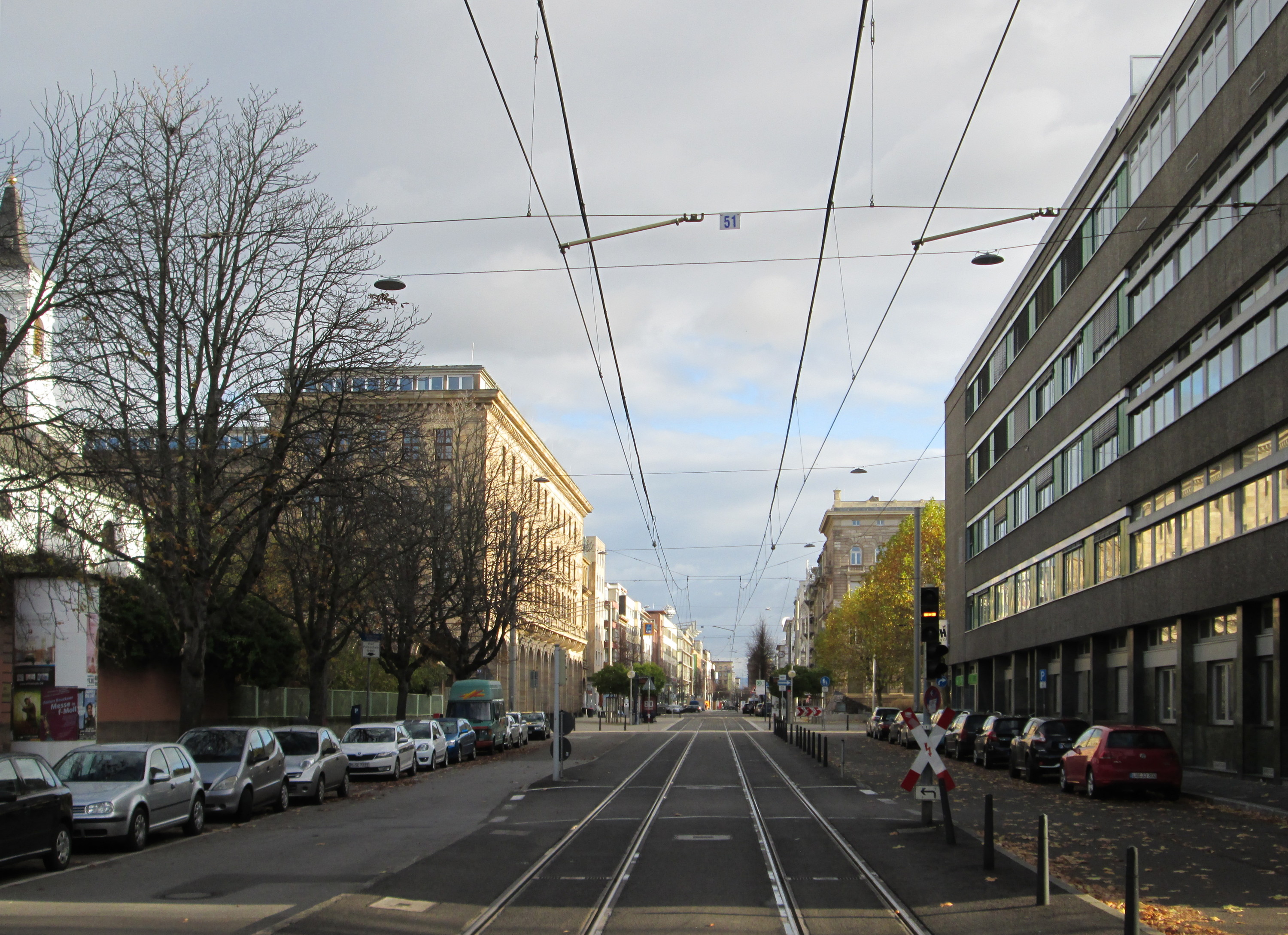
Deutsch: Planken in Mannheim auf Höhe der D- und E-Quadrate - links die Bürgerhospitalkirche und das Rathaus |
| Date | Taken on 19 November 2017 |
| Source | Own work |
| Author | AnRo0002 |
Licensing[edit]
I, the copyright holder of this work, hereby publish it under the following license:
| This file is made available under the Creative Commons CC0 1.0 Universal Public Domain Dedication. | |
| The person who associated a work with this deed has dedicated the work to the public domain by waiving all of their rights to the work worldwide under copyright law, including all related and neighboring rights, to the extent allowed by law. You can copy, modify, distribute and perform the work, even for commercial purposes, all without asking permission.
|
File history
Click on a date/time to view the file as it appeared at that time.
| Date/Time | Thumbnail | Dimensions | User | Comment | |
|---|---|---|---|---|---|
| current | 09:30, 24 November 2017 | | 3,000 × 2,176 (1.41 MB) | AnRo0002 (talk | contribs) | == {{int:filedesc}} == {{Location|1=49.48965695|2=8.46102297}} {{Information |Description={{de|Planken in Mannheim auf Höhe der D- und E-Quadrate - links die Bürgerhospitalkirche und das Rathaus}} |Source={{own}} |Author=AnRo0002 |D... |
You cannot overwrite this file.
File usage on Commons
There are no pages that use this file.