File:20180923 0600Z HIMAWARI8 vis 02P.tif
Jump to navigation
Jump to search

Size of this JPG preview of this TIF file: 600 × 600 pixels. Other resolutions: 240 × 240 pixels | 480 × 480 pixels | 768 × 768 pixels | 1,024 × 1,024 pixels | 1,556 × 1,556 pixels.
Original file (1,556 × 1,556 pixels, file size: 2.31 MB, MIME type: image/tiff)
Captions
Captions
Add a one-line explanation of what this file represents
Summary
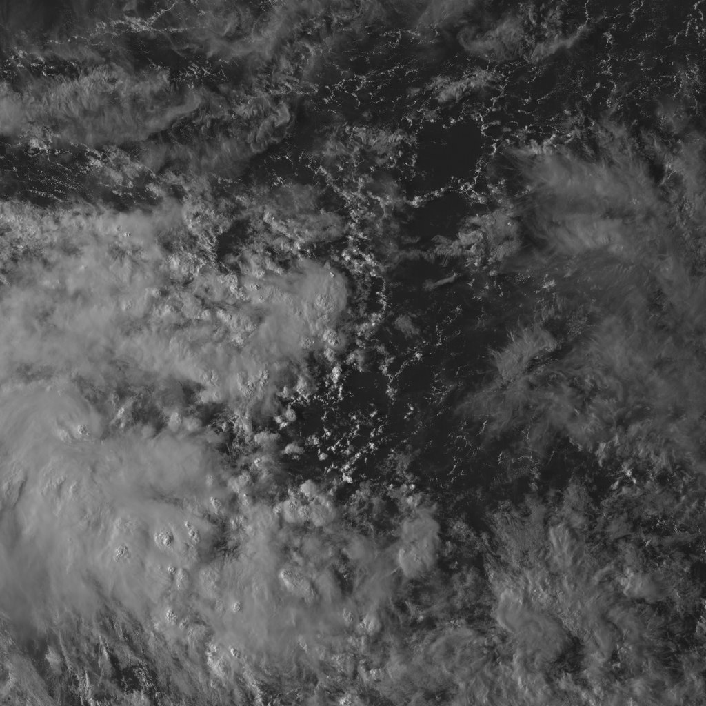
[edit]| Description | Image of system 02P on September 23, 2018 |
| Date | |
| Source | RealEarth |
| Author | Japan Meteorological Agency, SSEC/CIMSS |
Licensing
[edit]This image was produced by the Japan Meteorological Agency. The legal notice (archive) stated that all the images published on their website is compatible with the Creative Commons Attribution 4.0 License, which means that all the images on this website is published under the Creative Commons Attribution 4.0 License unless otherwise specified.
This file is licensed under the Creative Commons Attribution 4.0 International license. Attribution: Japan Meteorological Agency
|
 |

This image was produced by the SSEC/CIMSS, University of Wisconsin–Madison. All the images published on their website can be freely used, as long as the source is acknowledged. (disclaimer (archive))
|
 |

File history
Click on a date/time to view the file as it appeared at that time.
| Date/Time | Thumbnail | Dimensions | User | Comment | |
|---|---|---|---|---|---|
| current | 19:50, 1 March 2019 |  | 1,556 × 1,556 (2.31 MB) | Supportstorm (talk | contribs) |
You cannot overwrite this file.
File usage on Commons
The following 2 pages use this file: