File:35th Flying Training Wing (World War II) - Map.png
Jump to navigation
Jump to search
Size of this preview: 800 × 525 pixels. Other resolutions: 320 × 210 pixels | 640 × 420 pixels | 904 × 593 pixels.
Original file (904 × 593 pixels, file size: 68 KB, MIME type: image/png)
Captions
Captions
Add a one-line explanation of what this file represents
Summary
[edit]_-_Map.png&action=edit§ion=1)
| Description |
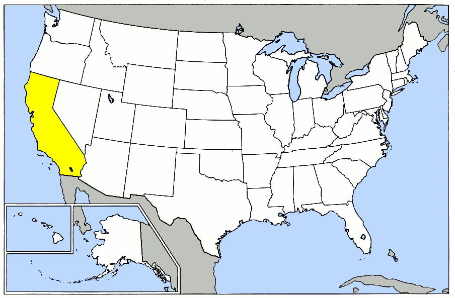
English: 35th Flying Training Wing (World War II) - Map. Based upon https://commons.wikimedia.org/wiki/File:Map_of_USA.png for basemap; Lineage and History of 31st Flying Training Wing (World War II); United States Air Force Historical Research Agency Document, Maxwell AFB, Alabama |
| Date | |
| Source | Own work |
| Author | Bwmoll3 |
Licensing
[edit]_-_Map.png&action=edit§ion=2)
I, the copyright holder of this work, hereby publish it under the following license:
This file is licensed under the Creative Commons Attribution 3.0 Unported license.
- You are free:
- to share – to copy, distribute and transmit the work
- to remix – to adapt the work
- Under the following conditions:
- attribution – You must give appropriate credit, provide a link to the license, and indicate if changes were made. You may do so in any reasonable manner, but not in any way that suggests the licensor endorses you or your use.
File history
Click on a date/time to view the file as it appeared at that time.
| Date/Time | Thumbnail | Dimensions | User | Comment | |
|---|---|---|---|---|---|
| current | 10:02, 15 March 2014 | | 904 × 593 (68 KB) | Bwmoll3 (talk | contribs) | {{Information |Description ={{en|1=35th Flying Training Wing (World War II) - Map. Based upon https://commons.wikimedia.org/wiki/File:Map_of_USA.png for basemap; Lineage and History of 31st Flying Training Wing (World War II); United States Air Forc... |
You cannot overwrite this file.
File usage on Commons
There are no pages that use this file.
File usage on other wikis
The following other wikis use this file:
- Usage on en.wikipedia.org
- Usage on www.wikidata.org
_-_Map.png&oldid=767603183)