File:65 HP 13 4061.jpg
Jump to navigation
Jump to search

Size of this preview: 773 × 600 pixels. Other resolutions: 310 × 240 pixels | 619 × 480 pixels | 990 × 768 pixels | 1,155 × 896 pixels.
Original file (1,155 × 896 pixels, file size: 384 KB, MIME type: image/jpeg)
Captions
Captions
Add a one-line explanation of what this file represents
Summary[edit]
| Description |
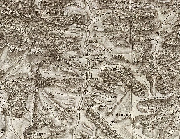
Français : Sarrancolin sur la Carte de Cassini. |
| Date | |
| Source | http://rumsey.geogarage.com/maps/cassinige.html?lat=46.757818055555546&lon=1.7277861111111101&zoom=6 |
| Author | Cesar-Francois Cassini (1714-1784), Carte de France. Levée par ordre du Roy. (1750-1815) |
Licensing[edit]
| This file is made available under the Creative Commons CC0 1.0 Universal Public Domain Dedication. | |
| The person who associated a work with this deed has dedicated the work to the public domain by waiving all of their rights to the work worldwide under copyright law, including all related and neighboring rights, to the extent allowed by law. You can copy, modify, distribute and perform the work, even for commercial purposes, all without asking permission.
|
File history
Click on a date/time to view the file as it appeared at that time.
| Date/Time | Thumbnail | Dimensions | User | Comment | |
|---|---|---|---|---|---|
| current | 17:45, 31 May 2016 | | 1,155 × 896 (384 KB) | Sotos (talk | contribs) | User created page with UploadWizard |
You cannot overwrite this file.
File usage on Commons
The following page uses this file:
File usage on other wikis
The following other wikis use this file:
- Usage on fr.wikipedia.org
Metadata
Categories:
- Maps of Sarrancolin
- Topographic maps of Sarrancolin
- Carte de Cassini du département des Hautes-Pyrénées
- Maps of Ardengost
- Topographic maps of Ardengost
- Maps of Beyrède-Jumet-Camous
- Topographic maps of Beyrède-Jumet-Camous
- Maps of Ilhet
- Topographic maps of Ilhet
- Maps of Vallée d'Aure
- Maps of Pailhac
- Topographic maps of Pailhac (Hautes-Pyrénées)