File:7801Betis District Road, Guagua, Pampanga 05.jpg
Jump to navigation
Jump to search

Size of this preview: 800 × 600 pixels. Other resolutions: 320 × 240 pixels | 640 × 480 pixels | 1,024 × 768 pixels | 1,280 × 960 pixels | 2,560 × 1,920 pixels | 4,608 × 3,456 pixels.
Original file (4,608 × 3,456 pixels, file size: 6.57 MB, MIME type: image/jpeg)
Captions
Captions
Add a one-line explanation of what this file represents
Summary
[edit]
| Description |
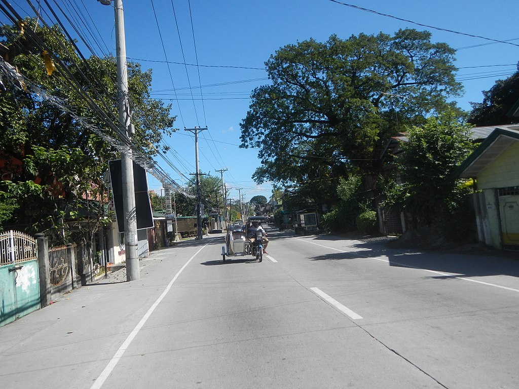
English: Betis District Road, Guagua, Pampanga interconnecting with the City of San Fernando-Bacolor, Pampanga Provincial Road from Palawe Bridge at City of San Fernando, Pampanga Welcome Arch (in Bacolor, Pampanga Welcome Road-Sign) Magliman Bridge K0070+331 Olongapo-Gapan Road (City of San Fernando, Pampanga section) along the Olongapo-Gapan Road (SM City-Robinsons, Lagundi, Mexico - Dolores, City of San Fernando, Pampanga Pedestrian Footbridges & Flyover - Intersection, MacArthur Highway) in Radial Road 9 Barangays Dolores 15°2'21"N 120°40'55"E San Juan 15°1'36"N 120°40'35"E Magliman 15°1'58"N 120°40'4"E City of San Fernando, Pampanga Jose Abad Santos Avenue, Olongapo-Gapan Road (City of San Fernando, Pampanga section) to San Miguel Bridge, Betis, Guagua, Pampanga Betis District Road, Statue of Saint James the Greater (Betis, Guagua, Pampanga) Cabetican, Bacolor-Betis, Guagua, Pampanga Bridge (Pampanga River & Flood Control) City of San Fernando-Bacolor, Pampanga Provincial Road Barangay Cabalantian, San Vicente, Cabambangan 14°59'57"N 120°38'41"E Santa Ines 14°59'38"N 120°39'26"E and Cabetican, Bacolor, Pampanga to Betist District Road, Baranggay San Miguel, San Miguel Betis 14°58'59"N 120°38'53"E Betis District, Guagua, Pampanga (Note: Judge Florentino Floro, the owner, to repeat, Donor Florentino Floro Judge Floro, of all these photos hereby donate gratuitously, freely and unconditionally all these photos to and for Wikimedia Commons, exclusively, for public use of the public domain, and again without any condition whatsoever). |
| Date | |
| Source | Own work |
| Author | Judgefloro |
| Camera location | | View this and other nearby images on: OpenStreetMap |
|---|
San Miguel Betis 14°58'59"N 120°38'53"E
Licensing
[edit]
I, the copyright holder of this work, hereby publish it under the following license:
| This file is made available under the Creative Commons CC0 1.0 Universal Public Domain Dedication. | |
| The person who associated a work with this deed has dedicated the work to the public domain by waiving all of their rights to the work worldwide under copyright law, including all related and neighboring rights, to the extent allowed by law. You can copy, modify, distribute and perform the work, even for commercial purposes, all without asking permission.
|
File history
Click on a date/time to view the file as it appeared at that time.
| Date/Time | Thumbnail | Dimensions | User | Comment | |
|---|---|---|---|---|---|
| current | 11:20, 30 November 2017 | | 4,608 × 3,456 (6.57 MB) | Judgefloro (talk | contribs) | User created page with UploadWizard |
You cannot overwrite this file.
File usage on Commons
There are no pages that use this file.