File:989Ambalite, Pugo, La Union 23.jpg
Jump to navigation
Jump to search
Size of this preview: 800 × 600 pixels. Other resolutions: 320 × 240 pixels | 640 × 480 pixels | 1,024 × 768 pixels | 1,280 × 960 pixels | 2,560 × 1,920 pixels | 4,608 × 3,456 pixels.
Original file (4,608 × 3,456 pixels, file size: 5.48 MB, MIME type: image/jpeg)
Captions
Captions
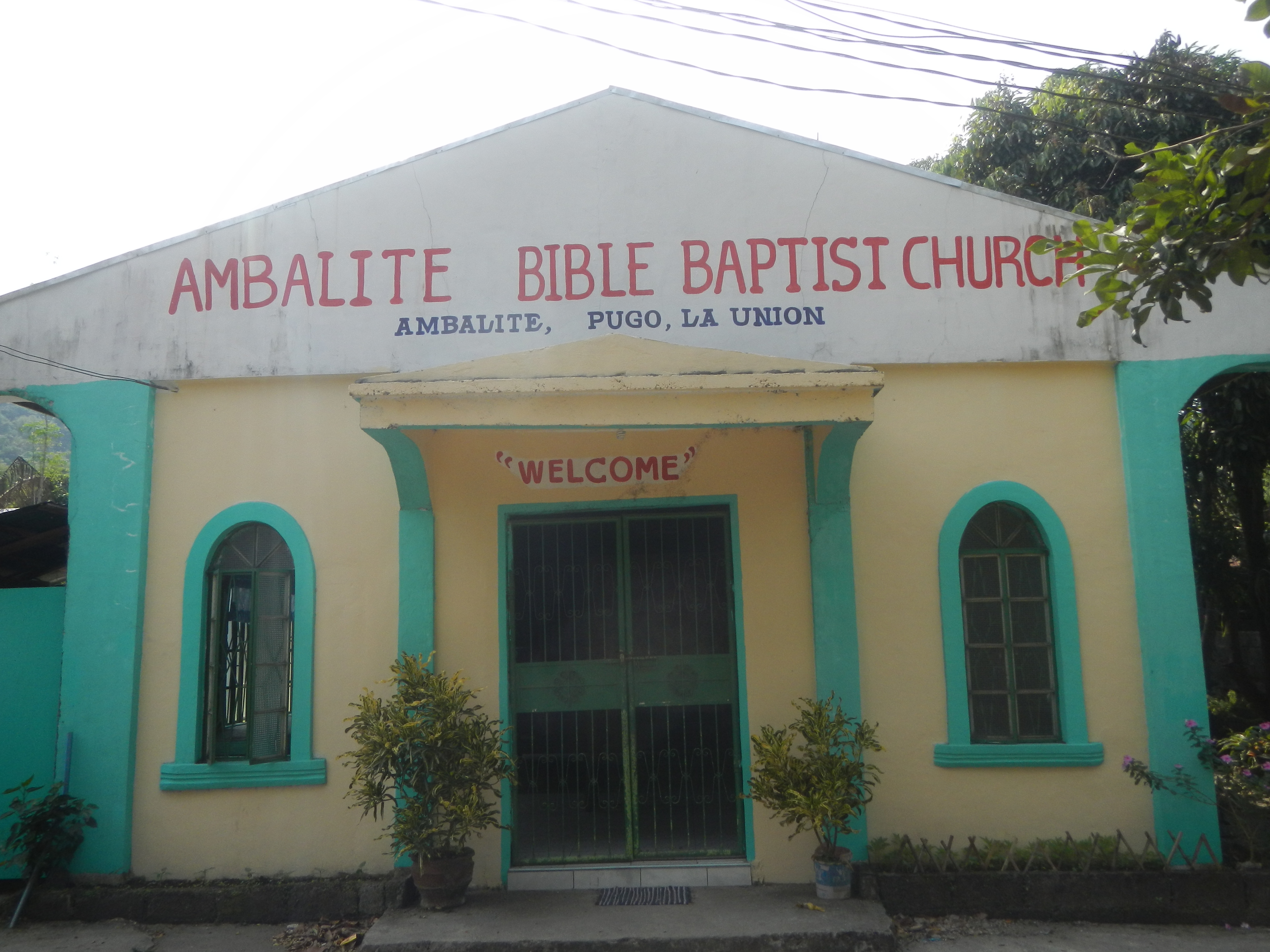
Ambalite, Pugo, La Union
Summary[edit]
| Description |
English: Pugo-Rosario Road (Ambangonan, Ambalite and Duplas, Maoasoas Norte, Maoasoas Sur, San Luis and Cuenca Pugo section) Ambalite, Pugo, La Union Ambalite Bridge I Ambalite Bible Baptist Church Ambalite Bridge II K0225+939 Bued River Duplas, Pugo, La Union Paddy fields in Pugo, La Union Duplas irrigation canal cum pathway Duplas-Ambangonan farm-to-market road Ambangonan, Pugo, La Union Ambangonan Elementary School, Pugo Chapel of Ambangonan, Pugo Category:Sitios and puroks of the Philippines Subdivisions of the Philippines List of barangays in La Union La Union province Barangays Ambalite, Pugo, La Union 16.3054, 120.4694 https://www.philatlas.com/luzon/r01/la-union/pugo/ambangonan.html Ambangonan, Pugo, La Union] 16.3040, 120.4915 Duplas, Pugo, La Union 16.3094, 120.4580 Cares, Pugo, La Union 16.3182, 120.4809 Pugo, La Union bounded by Category:Sitios and puroks of the Philippines Subdivisions of the Philippines List of barangays in La Union Barangay Ambangonan, Rosario, La Union 16.2984, 120.4702 Rosario, La Union, La Union province bounded or along the La Union surrounded by Cordillera Central (Luzon) to Aspiras–Palispis Highway still referred to as Marcos Highway or Agoo–Baguio Road Cordillera Administrative Region Mount Santo Tomas beside Mount Cabuyao served by Bued River Basin Tapuacan River and Bued River River valleys along Pugo–Rosario Road to Kennon Road roadway Pugo–Rosario Road to or from Subusub Rotunda (Pugo–Rosario Road-TPLEx access road) Tarlac–Pangasinan–La Union Expressway Section 3B (Sison-Rosario section) Tarlac–Pangasinan–La Union Expressway to North Luzon Expressway MacArthur Highway (Rosario, La Union section) of the MacArthur Highway or Manila North Road) Philippine highway network (Note: Judge Florentino Floro, the owner, to repeat, Donor Florentino Floro of all these photos hereby donate gratuitously, freely and unconditionally Judge Floro all these photos to and for Wikimedia Commons, exclusively, for public use of the public domain, and again without any condition whatsoever). |
| Date | |
| Source | Own work |
| Author | Judgefloro |
| Camera location | | View this and other nearby images on: OpenStreetMap |
|---|
Ambalite, Pugo, La Union 16.3054, 120.4694
Licensing[edit]
I, the copyright holder of this work, hereby publish it under the following license:
| This file is made available under the Creative Commons CC0 1.0 Universal Public Domain Dedication. | |
| The person who associated a work with this deed has dedicated the work to the public domain by waiving all of their rights to the work worldwide under copyright law, including all related and neighboring rights, to the extent allowed by law. You can copy, modify, distribute and perform the work, even for commercial purposes, all without asking permission.
|
File history
Click on a date/time to view the file as it appeared at that time.
| Date/Time | Thumbnail | Dimensions | User | Comment | |
|---|---|---|---|---|---|
| current | 06:55, 2 February 2020 | | 4,608 × 3,456 (5.48 MB) | Judgefloro (talk | contribs) | User created page with UploadWizard |
You cannot overwrite this file.
File usage on Commons
There are no pages that use this file.
File usage on other wikis
The following other wikis use this file:
- Usage on en.wikipedia.org