File:A Map of the extremity of Cape Cod, includind the Townships of Provincetown & Truro, with Shart of their Sea Coast and the Cape Cod Harbour, State of Massachusetts. Executed under the direction of Major... - btv1b532331094 (4 of 4).jpg
Jump to navigation
Jump to search

Size of this preview: 725 × 600 pixels. Other resolutions: 290 × 240 pixels | 580 × 480 pixels | 929 × 768 pixels | 1,238 × 1,024 pixels | 2,476 × 2,048 pixels | 11,212 × 9,274 pixels.
Original file (11,212 × 9,274 pixels, file size: 11.07 MB, MIME type: image/jpeg)
Captions
Captions
Add a one-line explanation of what this file represents
Summary[edit]
| Warning | The original file is very high-resolution. It might not load properly or could cause your browser to freeze when opened at full size. |
|---|
| Author |
Graham, James Duncan (1799-1865). Fonction indéterminée Hood, Washington (18..?-18.. ; ingénieur mili). Fonction indéterminée États-Unis. Bureau of topographical engineers. Fonction indéterminée |
||||||||||||||||||||||||||
| Title |
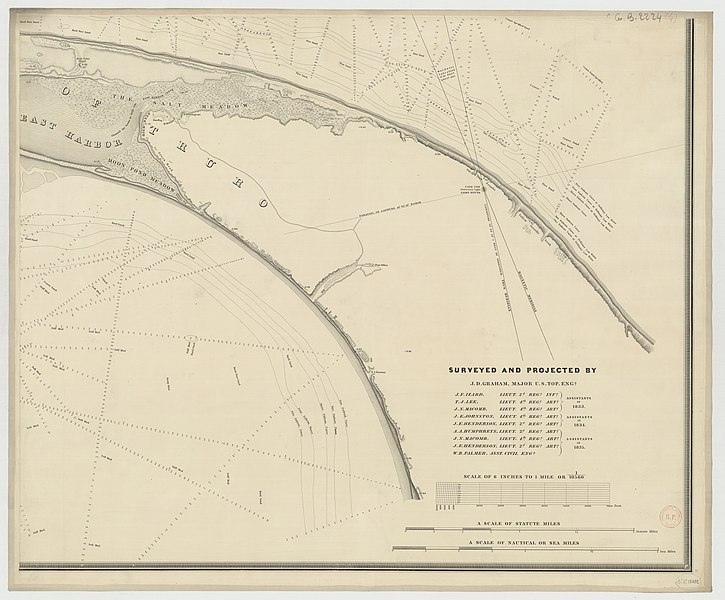
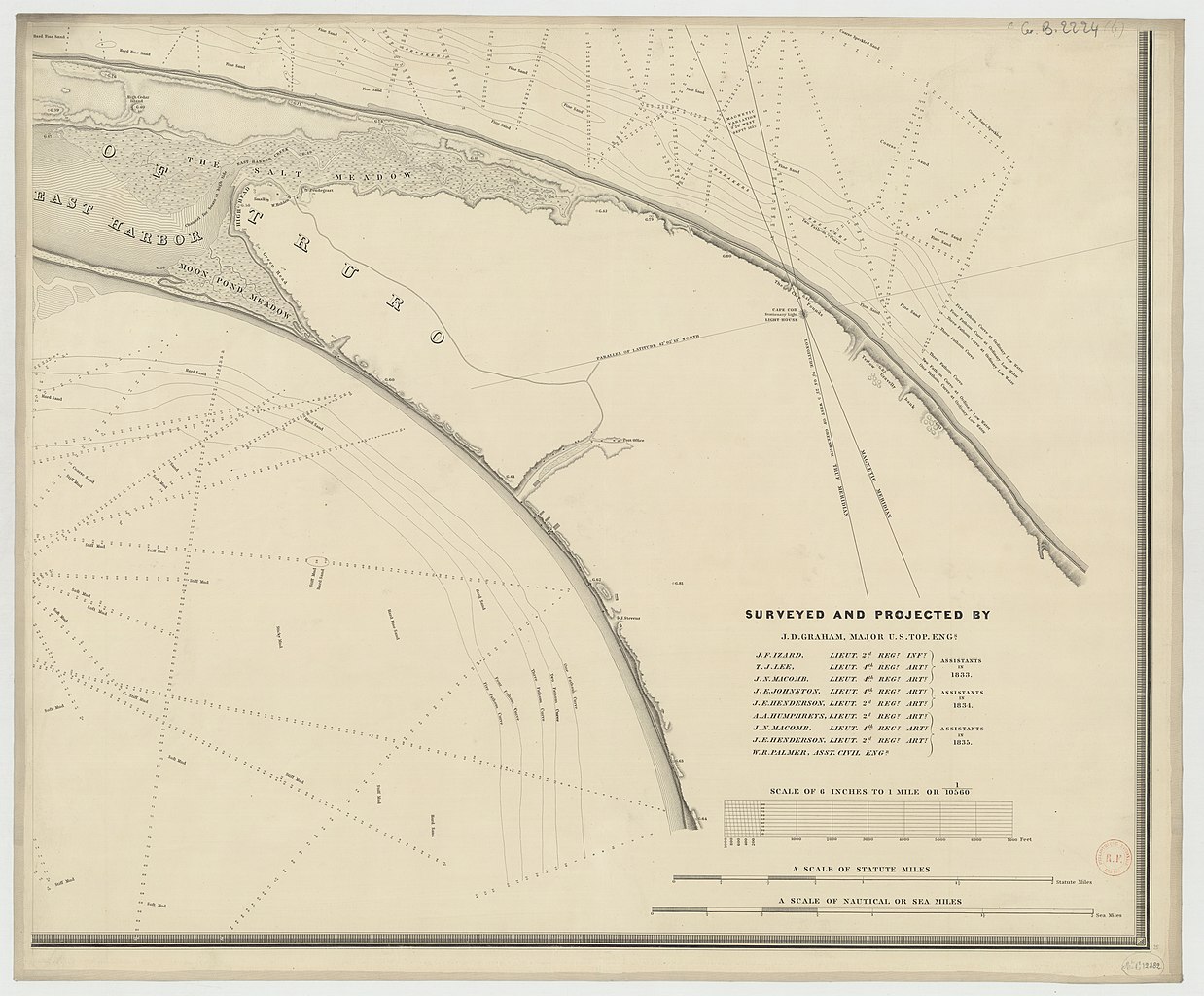
A Map of the extremity of Cape Cod, includind the Townships of Provincetown & Truro, with Shart of their Sea Coast and the Cape Cod Harbour, State of Massachusetts. Executed under the direction of Major J.D. Graham, ... during portions of the years 1833, 34 & 35. Scale 6 inches to 1 mile or 1 : 10 560 Reduced / from the original... by Wash. Hood |
||||||||||||||||||||||||||
| Description |
Français : Sujet : Cod, Cap
Couverture : États-Unis Langue : anglais Éditeur : Bureau of U.S. Topographical Engineers (Washington) |
||||||||||||||||||||||||||
| Date | 1836 | ||||||||||||||||||||||||||
| Collection |
|
||||||||||||||||||||||||||
| References |
Français : Notice de recueil : http://catalogue.bnf.fr/ark:/12148/cb40593927f
Appartient à : Registre C Notice du catalogue : http://catalogue.bnf.fr/ark:/12148/cb406071741 |
||||||||||||||||||||||||||
| Source/Photographer |
Français : Bibliothèque nationale de France, département Cartes et plans, GE B-2224
Bibliothèque nationale de France (4/4) |
||||||||||||||||||||||||||
| Permission (Reusing this file) |
|
||||||||||||||||||||||||||

.jpg&action=edit§ion=1)
File history
Click on a date/time to view the file as it appeared at that time.
| Date/Time | Thumbnail | Dimensions | User | Comment | |
|---|---|---|---|---|---|
| current | 18:41, 14 August 2022 | | 11,212 × 9,274 (11.07 MB) | Gzen92Bot (talk | contribs) | Gallica btv1b532331094 |
You cannot overwrite this file.
File usage on Commons
The following page uses this file:
.jpg)
.jpg&oldid=860305837)