File:Aizkorriko mendigunea.png
Jump to navigation
Jump to search

Size of this preview: 800 × 536 pixels. Other resolutions: 320 × 215 pixels | 640 × 429 pixels | 1,024 × 687 pixels | 1,226 × 822 pixels.
Original file (1,226 × 822 pixels, file size: 1.88 MB, MIME type: image/png)
Captions
Captions
Add a one-line explanation of what this file represents
Summary
[edit]| Description |
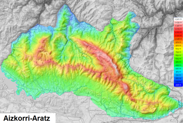
Euskara: Aizkorri-Aratzeko mendigunearen mapa topografikoa.
Français : Massif d'Aizkorri-Aratz
English: Aizkorri-Aratz Massif
Español: Macizo de Aizkorri-Aratz |
|||||
| Date | ||||||
| Source |
Own work Map data & imagery © OpenStreetMap Leaflet, an open-source JavaScript library Topographic-map.com, Visualisation et partage de cartes topographiques gratuites. |
|||||
| Author |
|

File history
Click on a date/time to view the file as it appeared at that time.
| Date/Time | Thumbnail | Dimensions | User | Comment | |
|---|---|---|---|---|---|
| current | 13:31, 21 June 2021 | | 1,226 × 822 (1.88 MB) | Zorion (talk | contribs) | Improvement |
| 02:21, 7 September 2019 |  | 1,226 × 822 (1.88 MB) | Zorion (talk | contribs) | User created page with UploadWizard |
You cannot overwrite this file.
File usage on Commons
The following page uses this file:
File usage on other wikis
The following other wikis use this file:
- Usage on eu.wikipedia.org
- Usage on fr.wikipedia.org
- Usage on www.wikidata.org