File:Akash 2007 track.png
Siirry navigaatioon
Siirry hakuun
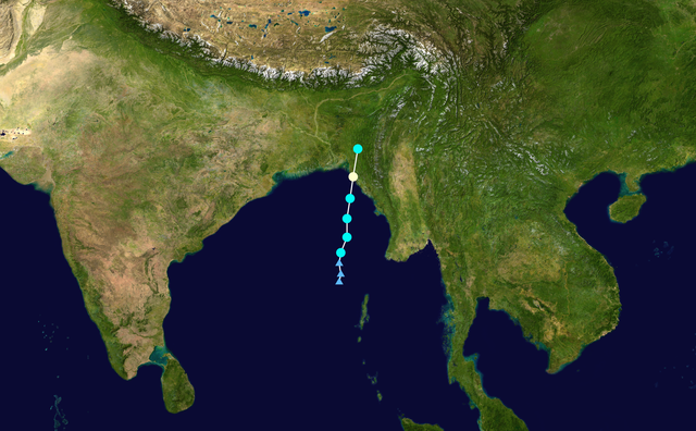
Tämän esikatselun koko: 800 × 495 kuvapistettä. Muut resoluutiot: 320 × 198 kuvapistettä | 640 × 396 kuvapistettä | 1 024 × 633 kuvapistettä | 1 280 × 791 kuvapistettä | 2 700 × 1 669 kuvapistettä.
Alkuperäinen tiedosto (2 700 × 1 669 kuvapistettä, 5,46 MiB, MIME-tyyppi: image/png)
Kuvatekstit
Kuvatekstit
Lisää yhden rivin pituinen kuvaus tästä tiedostosta
Yhteenveto
| Kuvaus |
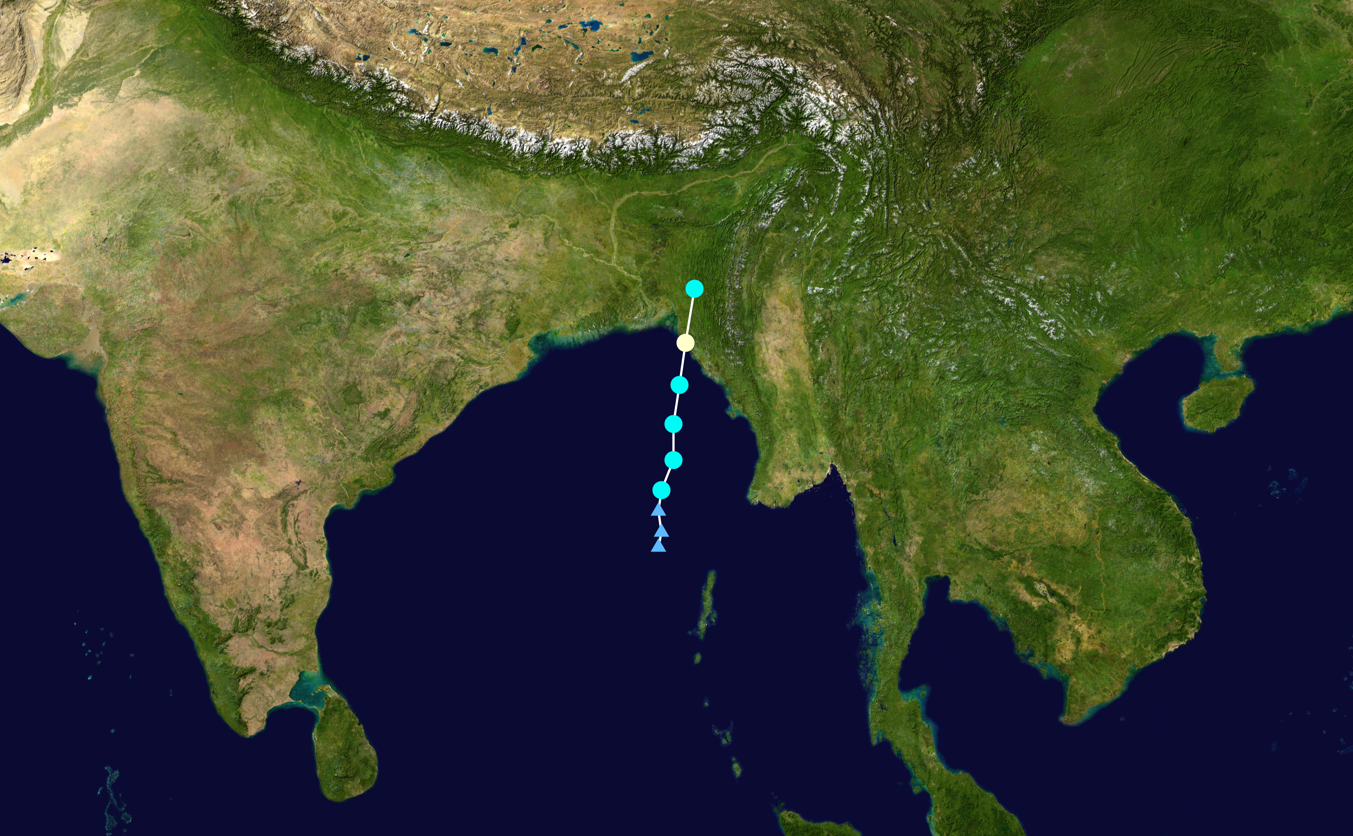
English: Track map of Cyclonic Storm Akash of the 2007 North Indian Ocean cyclone season. The points show the location of the storm at 6-hour intervals. The colour represents the storm's maximum sustained wind speeds as classified in the (see below), and the shape of the data points represent the nature of the storm, according to the legend below. Tropical depression (≤38 mph, ≤62 km/h)
Tropical storm (39–73 mph, 63–118 km/h)
Category 1 (74–95 mph, 119–153 km/h)
Category 2 (96–110 mph, 154–177 km/h)
Category 3 (111–129 mph, 178–208 km/h)
Category 4 (130–156 mph, 209–251 km/h)
Category 5 (≥157 mph, ≥252 km/h)
Unknown
Storm type |
||
| Päiväys | 2007-05-13–2007-05-15 | ||
| Lähde | Created by Nilfanion using Wikipedia:WikiProject Tropical cyclones/Tracks. The background image is from NASA. Tracking data is from the Joint Typhoon Warning Center[1]. | ||
| Tekijä | Nilfanion | ||
| Source code | Track map data table, if present below, is in HURDAT2 or ATCF format. See format details in [2] and [3], respectively.
|
Lisenssi
[muokkaa]| Tämän teoksen tekijä, Nilfanion, on julkaissut sen public domainiin. Tämä on voimassa maailmanlaajuisesti. Joissain maissa laki ei mahdollista tätä. Mikäli näin on: Nilfanion myöntää kaikille oikeuden käyttää tätä teosta mihin tahansa tarkoitukseen ilman minkäänlaisia ehtoja, ellei laki vaadi ehtojen asettamista. |
Tiedoston historia
Päiväystä napsauttamalla näet, millainen tiedosto oli kyseisellä hetkellä.
| Päiväys | Pienoiskuva | Koko | Käyttäjä | Kommentti | |
|---|---|---|---|---|---|
| nykyinen | 1. elokuuta 2020 kello 00.06 | | 2 700 × 1 669 (5,46 MiB) | Supportstorm (keskustelu | muokkaukset) | 2700 px |
| 29. toukokuuta 2008 kello 23.06 |  | 1 024 × 633 (934 KiB) | Nilfanion (keskustelu | muokkaukset) | {{Hurricane auto track map|name=Akash|type=Cyclone}} Category:2007 Northern Indian Ocean tropical cyclone season |
Et voi tallentaa uutta tiedostoa tämän tilalle.
Tiedoston käyttö
Tätä tiedostoa ei käytetä millään sivulla.
Tiedoston järjestelmänlaajuinen käyttö
Seuraavat muut wikit käyttävät tätä tiedostoa:
- Käyttö kohteessa bn.wikipedia.org
- Käyttö kohteessa de.wikipedia.org
- Käyttö kohteessa en.wikipedia.org
- Käyttö kohteessa fi.wikipedia.org
- Käyttö kohteessa ko.wikipedia.org
- Käyttö kohteessa pt.wikipedia.org
- Käyttö kohteessa zh.wikipedia.org