File:Alabama map.jpg
Jump to navigation
Jump to search
Size of this preview: 395 × 599 pixels. Other resolutions: 158 × 240 pixels | 317 × 480 pixels | 888 × 1,346 pixels.
Original file (888 × 1,346 pixels, file size: 432 KB, MIME type: image/jpeg)
Captions
Captions
Add a one-line explanation of what this file represents
Summary[edit]
| Description |
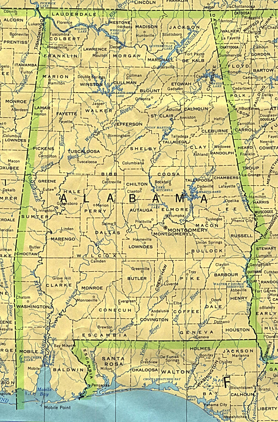
Deutsch: Karte Alabamas im Maßstab 1:250.000 aus der Perry Castaneda Lib. |
| Date | 1972, limited update 1990 |
| Source | Alabama at the Perry-Castañeda Library Map Collection. |
| Author | U.S. Geological Survey |
Licensing[edit]
This image is in the public domain in the United States because it only contains materials that originally came from the United States Geological Survey, an agency of the United States Department of the Interior. For more information, see the official USGS copyright policy.
|
Original upload log[edit]
- 20:27, 2. Mai 2004 . . de:Benutzer:Herrick Herrick ( de:Benutzer_Diskussion:Herrick Diskussion) . . 561 x 850 (171193 Byte) (Karte Alabamas im Maßstab 1:250.000 aus der Perry Castaneda Lib. von 433 kb u. 150 dpi auf 72 dpi (168 kB verkleinert)
File history
Click on a date/time to view the file as it appeared at that time.
| Date/Time | Thumbnail | Dimensions | User | Comment | |
|---|---|---|---|---|---|
| current | 12:12, 17 January 2010 | | 888 × 1,346 (432 KB) | Martin H. (talk | contribs) | original |
| 10:13, 22 January 2006 |  | 561 × 850 (167 KB) | Maksim (talk | contribs) | La bildo estas kopiita de wikipedia:de. La originala priskribo estas: Karte Alabamas im Maßstab 1:250.000 aus der Perry Castaneda Lib. von 433 kb u. 150 dpi auf 72 dpi (168 kB verkleinert {{PD}} {| border="1" ! date/time || username || edit summary |- |
You cannot overwrite this file.
File usage on Commons
The following page uses this file:
File usage on other wikis
The following other wikis use this file:
- Usage on de.wikipedia.org
- Usage on incubator.wikimedia.org
- Usage on it.wikipedia.org