File:Amby, sectie B, blad 2 (MIN11001B02).jpg
Jump to navigation
Jump to search

Size of this preview: 800 × 527 pixels. Other resolutions: 320 × 211 pixels | 640 × 421 pixels | 1,024 × 674 pixels | 1,280 × 843 pixels | 2,560 × 1,685 pixels | 11,668 × 7,682 pixels.
Original file (11,668 × 7,682 pixels, file size: 6.23 MB, MIME type: image/jpeg)
Captions
Captions
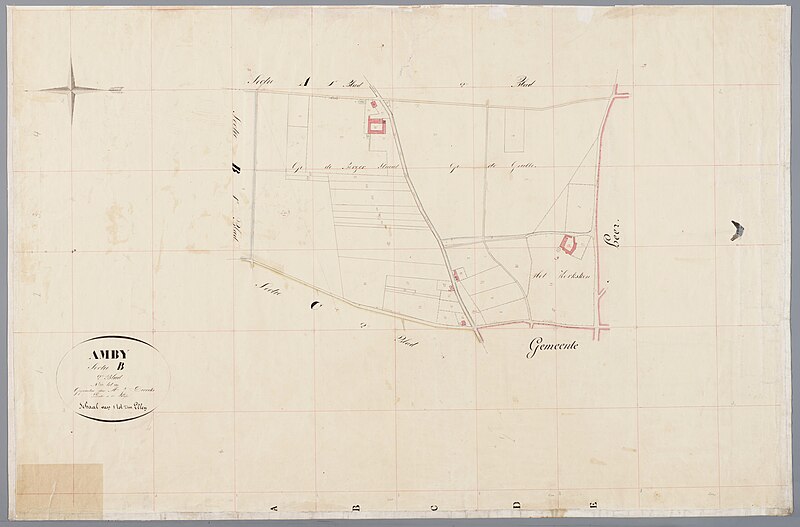
1830 maps of Amby near Maastricht, the Netherlands.
Summary
[edit]| Description |
Nederlands: Kadastrale minuutkaart van de gemeente Amby, sectie A, blad 2. Het afgebeelde gebied ligt tegenwoordig grotendeels in de buurt Scharn, gemeente Maastricht. Let op: deze kaart is een kwart slag gedraaid. Het noorden ligt hier links. |
| Date | |
| Source | https://beeldbank.rhcl.nl/detail.php?nav_id=5-1&id=2610312&index=4 |
| Author | mr. J. Dirriks, landmeter |
| Other versions |
_(detail,_Withuishof).jpg)
.jpg&action=edit§ion=1)
Licensing
[edit].jpg&action=edit§ion=2)
| This file is made available under the Creative Commons CC0 1.0 Universal Public Domain Dedication. | |
| The person who associated a work with this deed has dedicated the work to the public domain by waiving all of their rights to the work worldwide under copyright law, including all related and neighboring rights, to the extent allowed by law. You can copy, modify, distribute and perform the work, even for commercial purposes, all without asking permission.
|
File history
Click on a date/time to view the file as it appeared at that time.
| Date/Time | Thumbnail | Dimensions | User | Comment | |
|---|---|---|---|---|---|
| current | 20:09, 23 August 2023 | | 11,668 × 7,682 (6.23 MB) | Kleon3 (talk | contribs) | Uploaded a work by mr. J. Dirriks, landmeter from https://beeldbank.rhcl.nl/detail.php?nav_id=5-1&id=2610312&index=4 with UploadWizard |
You cannot overwrite this file.
File usage on Commons
The following 2 pages use this file:
.jpg)
.jpg&oldid=801155659)