File:Angola location map.svg
跳至導覽
跳至搜尋

此 SVG 檔案的 PNG 預覽的大小:547 × 600 像素。 其他解析度:219 × 240 像素 | 438 × 480 像素 | 700 × 768 像素 | 934 × 1,024 像素 | 1,868 × 2,048 像素 | 1,266 × 1,388 像素。
原始檔案 (SVG 檔案,表面大小:1,266 × 1,388 像素,檔案大小:478 KB)
說明
說明
添加單行說明來描述出檔案所代表的內容
摘要
[編輯]| 描述 |
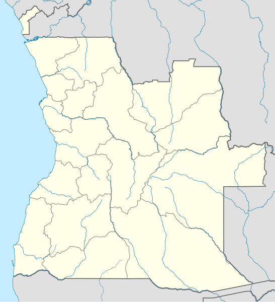
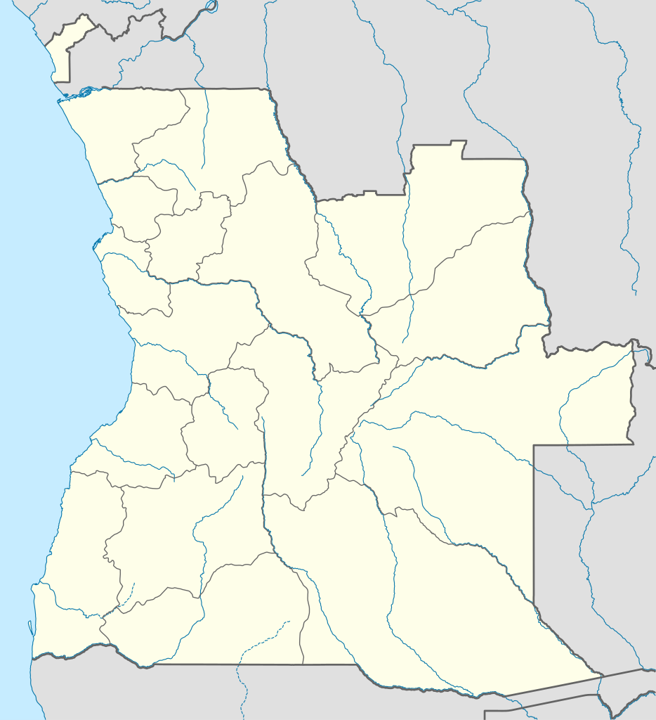
Deutsch: Positionskarte von Angola
Quadratische Plattkarte, N-S-Streckung 102 %. Geographische Begrenzung der Karte:
English: Location map of Angola
Equirectangular projection, N/S stretching 102 %. Geographic limits of the map:
|
| 日期 | |
| 來源 |
自己的作品, using
|
| 作者 | NordNordWest |
| 授權許可 (重用此檔案) |
我,本作品的著作權持有者,決定用以下授權條款發佈本作品: 此檔案採用共享創意 姓名標示-相同方式分享 3.0 未在地化版本授權條款。
|
| SVG開發 |

檔案歷史
點選日期/時間以檢視該時間的檔案版本。
| 日期/時間 | 縮圖 | 尺寸 | 用戶 | 備註 | |
|---|---|---|---|---|---|
| 目前 | 2019年8月21日 (三) 18:15 | | 1,266 × 1,388(478 KB) | Hallel(對話 | 貢獻) | Inclusão de novo mapa com as alterações territoriais das províncias do Bengo e Luanda |
| 2009年10月20日 (二) 17:35 |  | 1,266 × 1,388(478 KB) | NordNordWest(對話 | 貢獻) | =={{int:filedesc}}== {{Information |Description= {{de|Positionskarte von Angola}} Quadratische Plattkarte, N-S-Streckung 102 %. Geographische Begrenzung der Karte: * N: 4.1° S * S: 18.5° S * W: 11.1° O * O: 24.5° O {{en|Location map of |
無法覆蓋此檔案。
檔案用途
下列48個頁面有用到此檔案:
- Atlas of Angola
- User:Jcornelius/Angola/2019 August 21-31
- User:NordNordWest/Gallery/Location maps
- Commons:Graphic Lab/Map workshop/Archive/2020
- File:Angola relief location map.jpg
- File:Bengo in Angola.svg
- File:Bengo in Angola (before 2011).svg
- File:Benguela in Angola.svg
- File:Bié in Angola.svg
- File:Cabinda in Angola.svg
- File:Cabinda in Angola (special marker).svg
- File:Cuando Cubango in Angola.svg
- File:Cuanza Norte in Angola.svg
- File:Cuanza Sul in Angola.svg
- File:Cunene in Angola.svg
- File:First Extraordinary Congress of the MPLA-PT (September - November 1980).svg
- File:Huambo in Angola.svg
- File:Huila in Angola.svg
- File:Luanda in Angola.svg
- File:Luanda in Angola (before 2011).svg
- File:Luanda in Angola (special marker).svg
- File:Lunda Norte in Angola.svg
- File:Lunda Sul in Angola.svg
- File:Malanje in Angola.svg
- File:Moxico in Angola.svg
- File:Namibe in Angola.svg
- File:Northern Angola Offensive (December 1975 - February 1976).svg
- File:Operation Askari (December 1983 - January 1984).svg
- File:Operation Bunda (April - July 1983).svg
- File:Operation Final Assault and UNITA's 1989-91 Campaign (December 1989 - May 1991).svg
- File:Operation General Antonio Maceo (January - March 1976).svg
- File:Operation Protea (August - September 1981).svg
- File:Operation Savannah (October 1975 - January 1976).svg
- File:Operations Cuangar and Toma de la Frontera (July - October 1979).svg
- File:Operations Iron Fist and Alpha Centauri (May - November 1986).svg
- File:Operations Saluting October and Moduler (July - November 1987).svg
- File:Operations Second Congress, Magneto, and Wallpaper (July - October 1985).svg
- File:Operations Victorious June and FAPLA 10 Years of Victory (May - September 1984).svg
- File:UNITA's 1979 Campaign.svg
- File:UNITA's 1980 Campaign and Operation Tiro-Tiro.svg
- File:UNITA's Early 1981 Campaign.svg
- File:UNITA's Early 1982 Campaign.svg
- File:UNITA's Early 1983 Campaign.svg
- File:UNITA's Late 1981 Campaign.svg
- File:UNITA's Late 1982 Campaign.svg
- File:UNITA's Late 1983 Campaign and Operation Karton.svg
- File:Uíge in Angola.svg
- File:Zaire in Angola.svg
.svg)
.svg)
.svg)
.svg)
.svg)
.svg)
.svg)
.svg)
.svg)
.svg)
.svg)
.svg)
.svg)
.svg)
.svg)
.svg)
.svg)
全域檔案使用狀況
以下其他 wiki 使用了這個檔案:
- af.wikipedia.org 的使用狀況
- am.wikipedia.org 的使用狀況
- an.wikipedia.org 的使用狀況
- ar.wikipedia.org 的使用狀況
- ast.wikipedia.org 的使用狀況
- Luanda
- Ríu Congu
- Bolongongo
- Bembe
- Londuimbale
- Songo (Angola)
- Camanongue
- N'Zeto
- Lucala
- Lubalo
- Comité Paralímpicu Angolanu
- Lubango
- Área de caltenimientu Kavango-Zambeze
- Ríu Zambeze
- Morro do Moco
- Benguela
- Módulu:Mapa de llocalización/datos/Angola
- Módulu:Mapa de llocalización/datos/Angola/usu
- Aeropuertu Internacional Quatro de Fevereiro
- Aeropuertu de Benguela
- Aeropuertu de Cabinda
- Aeropuertu de Kuito
檢視此檔案的更多全域使用狀況。