File:Argyll and Bute UK location map.svg
跳至導覽
跳至搜尋

此 SVG 檔案的 PNG 預覽的大小:579 × 600 像素。 其他解析度:232 × 240 像素 | 463 × 480 像素 | 741 × 768 像素 | 988 × 1,024 像素 | 1,977 × 2,048 像素 | 1,336 × 1,384 像素。
原始檔案 (SVG 檔案,表面大小:1,336 × 1,384 像素,檔案大小:3.65 MB)
說明
說明
添加單行說明來描述出檔案所代表的內容
| 描述 |
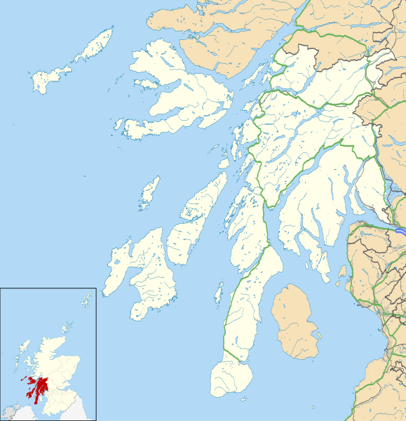
Blank map of Argyll and Bute, UK with the following information shown:
Equirectangular map projection on WGS 84 datum, with N/S stretched 175% Geographic limits:
|
| 日期 | |
| 來源 |
|
| 作者 | Nilfanion, created using Ordnance Survey data |
| 授權許可 (重用此檔案) |
此檔案採用共享創意 姓名標示-相同方式分享 3.0 未在地化版本授權條款。 姓名標示: Contains Ordnance Survey data © Crown copyright and database right
|
| 其他版本 | Argyll and Bute UK blank map.svg - Blank map |
| SVG開發 |
檔案歷史
點選日期/時間以檢視該時間的檔案版本。
| 日期/時間 | 縮圖 | 尺寸 | 用戶 | 備註 | |
|---|---|---|---|---|---|
| 目前 | 2010年9月26日 (日) 20:03 | | 1,336 × 1,384(3.65 MB) | Nilfanion(對話 | 貢獻) | {{Information |Description=Blank map of Argyll and Bute, UK with the following information shown: *Administrative borders *Coastline, lakes and rivers *Roads and railways *Urban areas Equirectangular map projection on WGS 84 datum, |
無法覆蓋此檔案。
檔案用途
下列頁面有用到此檔案:
全域檔案使用狀況
以下其他 wiki 使用了這個檔案:
- ar.wikipedia.org 的使用狀況
- ba.wikipedia.org 的使用狀況
- bg.wikipedia.org 的使用狀況
- ceb.wikipedia.org 的使用狀況
- de.wikipedia.org 的使用狀況
- en.wikipedia.org 的使用狀況
- List of monastic houses in Scotland
- Argyll and Bute
- Dunoon
- RAF Machrihanish
- Campbeltown Airport
- Rothesay
- Tobermory, Mull
- Lochgilphead
- Mull of Kintyre
- Kilcreggan
- Port Ellen
- Lagavulin
- Ardrishaig
- Kilchurn Castle
- Duart Castle
- RNAS Machrihanish (HMS Landrail)
- Calgary, Mull
- Port Bannatyne
- Crinan, Argyll
- Carradale
- Kennacraig
- Peninver
- Saddell
- Islay Airport
- Bunessan
- Knockan
- Southend, Argyll
- Kintra
- Fionnphort
- Ardlui
- Bowmore
- Craighouse
檢視此檔案的更多全域使用狀況。