File:BSicon RP2sRP2.svg
跳去導覽
跳去搵嘢

呢個「SVG」檔案嘅呢個「PNG」預覽嘅大細:500 × 500 像素。 第啲解像度:240 × 240 像素 | 480 × 480 像素 | 768 × 768 像素 | 1,024 × 1,024 像素 | 2,048 × 2,048 像素。
原本檔案 (SVG檔案,表面大細: 500 × 500 像素,檔案大細:638字節)
Captions
Captions
Add a one-line explanation of what this file represents
摘要[編輯]
| 描述 |
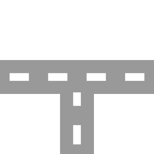
English: two-lane road with two-lane road joining from south Esperanto: Dualea ŝoseo kun kuniĝo de dualea ŝoseo el sudo Português: Estrada de duas faixas com junção de estrada de duas faixas vinda de sul |
| 日期 | |
| 來源 | |
| 作者 |
|
| Other versions | Derivative works of this file: BSicon RP2nRP2.svg |
| SVG genesis | This BSicon was created with a text editor. |
協議[編輯]
我,呢份作品嘅作者,決定用以下許可發佈呢件作品:
| This file is made available under the Creative Commons CC0 1.0 Universal Public Domain Dedication. | |
| The person who associated a work with this deed has dedicated the work to the public domain by waiving all of their rights to the work worldwide under copyright law, including all related and neighboring rights, to the extent allowed by law. You can copy, modify, distribute and perform the work, even for commercial purposes, all without asking permission.
|
Original upload log[編輯]
This image is a derivative work of the following images:
- BSicon RP2wRP2.svg licensed with Cc-zero
- 2011-01-28T12:04:58Z Tuvalkin 500x500 (913 Bytes) {{Information |Description={{en|1= two-lane road with two-lane road joining from west}} {{eo|1= Dualea ŝoseo kun kuniĝo de kun dualea ŝoseo el okcidento}} {{pt|1= Estrada de duas com junção de estrada de duas faixas vind
Uploaded with derivativeFX
檔案歷史
撳個日期/時間去睇響嗰個時間出現過嘅檔案。
| 日期/時間 | 縮圖 | 尺寸 | 用戶 | 註解 | |
|---|---|---|---|---|---|
| 現時 | 2011年10月21號 (五) 06:04 | | 500 × 500(638字節) | Tuvalkin(傾偈 | 貢獻) | 4 dashes |
| 2011年1月30號 (日) 02:05 |  | 500 × 500(913字節) | Tuvalkin(傾偈 | 貢獻) | {{Information |Description={{en|1= two-lane road with two-lane road joining from south}} {{eo|1= Dualea ŝoseo kun kuniĝo de dualea ŝoseo el sudo}} {{pt|1= Estrada de duas faixas com junção de estrada de duas faixas vinda de sul}} |Source=*[[:File:BSi |
你無得衾咗個檔案。
檔案用途
以下嘅9版用到呢個檔:
- BSicon/Catalogue/generic roads
- Talk:BSicon/Categorization/Archive 1
- User:Circeus/BSicon renaming/Generic
- User:JJMC89 bot/report/BSicons/changes/2017-04 (02)
- User:JJMC89 bot/report/BSicons/changes/2022-03
- User:JJMC89 bot/report/BSicons/changes/2022-09
- User:JJMC89 bot/report/BSicons/logs/upload/2011-01
- User:JJMC89 bot/report/BSicons/logs/upload/2011-10
- Category talk:Icons for motorway descriptions/generic/descriptions
全域檔案使用情況
下面嘅維基都用緊呢個檔案:
- cs.wikipedia.org嘅使用情況
- de.wikipedia.org嘅使用情況
- el.wikipedia.org嘅使用情況
- en.wikipedia.org嘅使用情況
- Historic Columbia River Highway
- Gympie Arterial Road
- Sunshine Motorway
- North East railway line
- Ravenswood station
- Elmhurst station (Illinois)
- Bartlett station
- Iron Horse Trail, Ontario
- Triyuga Municipality
- Martin Luther King Jr. East Busway
- Lombard station
- Prairie Crossing station
- Lake Villa station
- Mont Clare station (Illinois)
- Bensenville station
- Hudson Lake station
- Des Plaines station
- State Street station (Illinois)
- Sandgate Road
- Template:HCRH map
- VIP Road, Kolkata
- West Santa Ana Branch
- Trams in Graz
- User:Etp01/sandbox
- Talk:Riverline (Hobart)
- Template talk:Northern Suburbs Light Rail
- Vulture Street, Brisbane
- Keele Yard
- User:Dr. British12/Gallery: Fictional Metro Maps made using MediaWiki
- Template:Vincent Yard
- Tongpo Line
- Maroochydore Road
- Template:VIP Road
- Template:Iron Horse Trail (Ontario)
- User:ArnabSaha/sandbox/map
- Template:Martin Luther King Jr. East Busway
- Template:West Santa Ana Branch
- Caboolture–Bribie Island Road
- Beerburrum Road
- Caloundra Road
- Brisbane–Woodford Road
- User:ThylacineHunter/Lines/NESG railway line
- Hill Street Tunnel
- Template:Hill Street Tunnel
- South Pine Road
睇呢個檔案嘅更多全域使用情況。