File:BSicon RP2sRP2.svg
跳转到导航
跳转到搜索

此SVG文件的PNG预览的大小:500 × 500像素。 其他分辨率:240 × 240像素 | 480 × 480像素 | 768 × 768像素 | 1,024 × 1,024像素 | 2,048 × 2,048像素。
原始文件 (SVG文件,尺寸为500 × 500像素,文件大小:638字节)
说明
说明
添加一行文字以描述该文件所表现的内容
摘要
[编辑]
| 描述 |
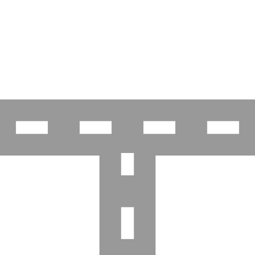
English: two-lane road with two-lane road joining from south Esperanto: Dualea ŝoseo kun kuniĝo de dualea ŝoseo el sudo Português: Estrada de duas faixas com junção de estrada de duas faixas vinda de sul |
| 日期 | |
| 来源 | |
| 作者 |
|
| 其他版本 | 此文件衍生的作品: BSicon RP2nRP2.svg |
| SVG开发 |
许可协议
[编辑]
我,本作品著作权人,特此采用以下许可协议发表本作品:
| 本作品采用知识共享CC0 1.0 通用公有领域贡献许可协议授权。 | |
| 采用本宣告发表本作品的人,已在法律允许的范围内,通过在全世界放弃其对本作品拥有的著作权法规定的所有权利(包括所有相关权利),将本作品贡献至公有领域。您可以复制、修改、传播和表演本作品,将其用于商业目的,无需要求授权。
|
原始上传日志
[编辑]
This image is a derivative work of the following images:
- BSicon RP2wRP2.svg licensed with Cc-zero
- 2011-01-28T12:04:58Z Tuvalkin 500x500 (913 Bytes) {{Information |Description={{en|1= two-lane road with two-lane road joining from west}} {{eo|1= Dualea ŝoseo kun kuniĝo de kun dualea ŝoseo el okcidento}} {{pt|1= Estrada de duas com junção de estrada de duas faixas vind
Uploaded with derivativeFX
文件历史
点击某个日期/时间查看对应时刻的文件。
| 日期/时间 | 缩略图 | 大小 | 用户 | 备注 | |
|---|---|---|---|---|---|
| 当前 | 2011年10月21日 (五) 06:04 | | 500 × 500(638字节) | Tuvalkin(留言 | 贡献) | 4 dashes |
| 2011年1月30日 (日) 02:05 |  | 500 × 500(913字节) | Tuvalkin(留言 | 贡献) | {{Information |Description={{en|1= two-lane road with two-lane road joining from south}} {{eo|1= Dualea ŝoseo kun kuniĝo de dualea ŝoseo el sudo}} {{pt|1= Estrada de duas faixas com junção de estrada de duas faixas vinda de sul}} |Source=*[[:File:BSi |
您不可以覆盖此文件。
文件用途
以下9个页面使用本文件:
- BSicon/Catalogue/generic roads
- Talk:BSicon/Categorization/Archive 1
- User:Circeus/BSicon renaming/Generic
- User:JJMC89 bot/report/BSicons/changes/2017-04 (02)
- User:JJMC89 bot/report/BSicons/changes/2022-03
- User:JJMC89 bot/report/BSicons/changes/2022-09
- User:JJMC89 bot/report/BSicons/logs/upload/2011-01
- User:JJMC89 bot/report/BSicons/logs/upload/2011-10
- Category talk:Icons for motorway descriptions/generic/descriptions
全域文件用途
以下其他wiki使用此文件:
- cs.wikipedia.org上的用途
- de.wikipedia.org上的用途
- el.wikipedia.org上的用途
- en.wikipedia.org上的用途
- Historic Columbia River Highway
- Gympie Arterial Road
- Sunshine Motorway
- North East railway line
- Ravenswood station
- Elmhurst station (Illinois)
- Bartlett station
- Iron Horse Trail, Ontario
- Triyuga Municipality
- Martin Luther King Jr. East Busway
- Lombard station
- Prairie Crossing station
- Lake Villa station
- Mont Clare station (Illinois)
- Bensenville station
- Hudson Lake station
- Des Plaines station
- State Street station (Illinois)
- Sandgate Road
- Template:HCRH map
- VIP Road, Kolkata
- West Santa Ana Branch
- Trams in Graz
- User:Etp01/sandbox
- Talk:Riverline (Hobart)
- Template talk:Northern Suburbs Light Rail
- Vulture Street, Brisbane
- Keele Yard
- User:Dr. British12/Gallery: Fictional Metro Maps made using MediaWiki
- Template:Vincent Yard
- Tongpo Line
- Maroochydore Road
- Template:VIP Road
- Template:Iron Horse Trail (Ontario)
- User:ArnabSaha/sandbox/map
- Template:Martin Luther King Jr. East Busway
- Template:West Santa Ana Branch
- Caboolture–Bribie Island Road
- Beerburrum Road
- Caloundra Road
- Brisbane–Woodford Road
- User:ThylacineHunter/Lines/NESG railway line
- Hill Street Tunnel
- Template:Hill Street Tunnel
- South Pine Road
查看此文件的更多全域用途。