File:Bahamas location map.svg
跳转到导航
跳转到搜索

此SVG文件的PNG预览的大小:800 × 577像素。 其他分辨率:320 × 231像素 | 640 × 461像素 | 1,024 × 738像素 | 1,280 × 923像素 | 2,560 × 1,846像素 | 1,559 × 1,124像素。
原始文件 (SVG文件,尺寸为1,559 × 1,124像素,文件大小:383 KB)
说明
说明
添加一行文字以描述该文件所表现的内容
摘要
[编辑]

|
|
许可协议
[编辑]
我,本作品著作权人,特此采用以下许可协议发表本作品:

|
已授权您依据自由软件基金会发行的无固定段落及封面封底文字(Invariant Sections, Front-Cover Texts, and Back-Cover Texts)的GNU自由文件许可协议1.2版或任意后续版本的条款,复制、传播和/或修改本文件。该协议的副本请见“GNU Free Documentation License”。 |
本文件采用知识共享署名-相同方式共享 3.0 未本地化版本许可协议授权。
- 您可以自由地:
- 共享 – 复制、发行并传播本作品
- 修改 – 改编作品
- 惟须遵守下列条件:
- 署名 – 您必须对作品进行署名,提供授权条款的链接,并说明是否对原始内容进行了更改。您可以用任何合理的方式来署名,但不得以任何方式表明许可人认可您或您的使用。
- 相同方式共享 – 如果您再混合、转换或者基于本作品进行创作,您必须以与原先许可协议相同或相兼容的许可协议分发您贡献的作品。
您可以选择您需要的许可协议。
文件历史
点击某个日期/时间查看对应时刻的文件。
| 日期/时间 | 缩略图 | 大小 | 用户 | 备注 | |
|---|---|---|---|---|---|
| 当前 | 2011年4月15日 (五) 17:31 | | 1,559 × 1,124(383 KB) | NordNordWest(留言 | 贡献) | upd |
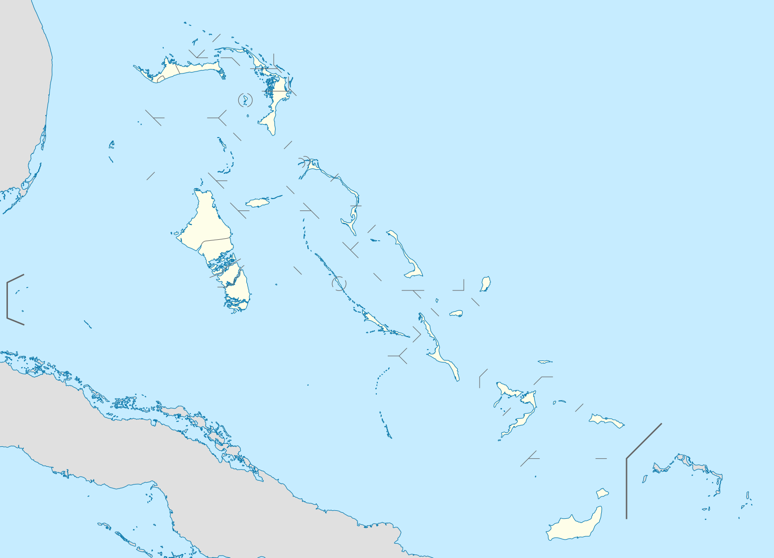
| 2008年10月23日 (四) 19:17 |  | 1,560 × 1,125(549 KB) | NordNordWest(留言 | 贡献) | {{Information |Description= {{de|Positionskarte der Bahamas}} Quadratische Plattkarte, N-S-Streckung 105 %. Geographische Begrenzung der Karte: * N: 27.5° N * S: 20.7° N * W: 80.7° W * O: 70.8° W {{en|Location map of [[:en:The Bahamas| |
您不可以覆盖此文件。
文件用途
超过100个页面使用本文件。 下面的列表只显示使用本文件的前100个页面。完整列表可用。
- User:NordNordWest/Gallery/Location maps
- File:Acklins in Bahamas.svg
- File:Acklins in Bahamas (+glow).svg
- File:Acklins in Bahamas (zoom).svg
- File:Bahamas-map-2010.png
- File:Berry Islands District.png
- File:Berry Islands in Bahamas.svg
- File:Berry Islands in Bahamas (+glow).svg
- File:Bimini District.png
- File:Bimini in Bahamas (+glow).svg
- File:Black Point in Bahamas.svg
- File:Black Point in Bahamas (+glow).svg
- File:Black Point in Bahamas (+special marker).svg
- File:Black Point in Bahamas (zoom).svg
- File:Cat Island District.png
- File:Cat Island in Bahamas.svg
- File:Central Abaco District.png
- File:Central Abaco District Location.png
- File:Central Abaco in Bahamas.svg
- File:Central Abaco in Bahamas (zoom).svg
- File:Central Andros District.png
- File:Central Andros in Bahamas.svg
- File:Central Eleuthera District.png
- File:Central Eleuthera in Bahamas.svg
- File:Central Eleuthera in Bahamas (+glow).svg
- File:Central Eleuthera in Bahamas (zoom).svg
- File:Crooked Island in Bahamas.svg
- File:Crooked Island in Bahamas (+glow).svg
- File:Crooked Island in Bahamas (zoom).svg
- File:District of Acklins.png
- File:District of the City of Freeport.png
- File:East Grand Bahama.png
- File:East Grand Bahama in Bahamas.svg
- File:East Grand Bahama in Bahamas (zoom).svg
- File:Exuma District.png
- File:Exuma and Cays in Bahamas.svg
- File:Exuma and Cays in Bahamas (+glow).svg
- File:Freeport in Bahamas.svg
- File:Freeport in Bahamas (+special marker).svg
- File:Freeport in Bahamas (zoom).svg
- File:Grand Cay District.png
- File:Grand Cay in Bahamas (+glow).svg
- File:Grand Cay in Bahamas (zoom).svg
- File:Grand Cay in Bahamas (zoom +glow).svg
- File:Grand bahama Administrative regions.png
- File:Green Turtle Cay in Bahamas (+glow).svg
- File:Green Turtle Cay in Bahamas (+special marker).svg
- File:Green Turtle Cay in Bahamas (zoom).svg
- File:Green Turtle Cay in Bahamas (zoom +glow).svg
- File:Harbour Island District.png
- File:Harbour Island in Bahamas (+special marker).svg
- File:Harbour Island in Bahamas (zoom).svg
- File:Hope Town District.png
- File:Hope Town in Bahamas.svg
- File:Hope Town in Bahamas (+glow).svg
- File:Hope Town in Bahamas (zoom).svg
- File:Hope Town in Bahamas (zoom +glow).svg
- File:Inagua District Location.png
- File:Inagua in Bahamas.svg
- File:Long Island District.png
- File:Long Island in Bahamas.svg
- File:Long Island in Bahamas (+glow).svg
- File:Mangrove Cay District.png
- File:Mangrove Cay in Bahamas.svg
- File:Map of the Bahamas-2010-2.png
- File:Map of the Bahamas-2010.png
- File:Mayaguana District.png
- File:Mayaguana in Bahamas.svg
- File:Mayaguana in Bahamas (+glow).svg
- File:Moore's Island.png
- File:Moores Island in Bahamas.svg
- File:Moores Island in Bahamas (+special marker).svg
- File:Moores Island in Bahamas (zoom).svg
- File:Moores Island in Bahamas (zoom +glow).svg
- File:North Abaco District.png
- File:North Abaco in Bahamas.svg
- File:North Abaco in Bahamas (+glow).svg
- File:North Abaco in Bahamas (zoom).svg
- File:North Andros District.png
- File:North Andros District Location.png
- File:North Andros in Bahamas.svg
- File:North Eleuthera District.png
- File:North Eleuthera in Bahamas.svg
- File:North Eleuthera in Bahamas (+glow).svg
- File:North Eleuthera in Bahamas (zoom).svg
- File:Northern Bahamas.png
- File:Ragged Island in Bahamas (+glow).svg
- File:Rum Cay in Bahamas.svg
- File:Rum Cay in Bahamas (+glow).svg
- File:San Salvador in Bahamas.svg
- File:San Salvador in Bahamas (+glow).svg
- File:South Abaco District.png
- File:South Abaco in Bahamas.svg
- File:South Andros District.png
- File:South Andros District Location.png
- File:South Andros in Bahamas.svg
- File:South Eleuthera District.png
- File:South Eleuthera in Bahamas.svg
- File:South Eleuthera in Bahamas (+glow).svg
- File:South Eleuthera in Bahamas (zoom).svg
.svg)
.svg)
.svg)
.svg)
.svg)
.svg)
.svg)
.svg)
.svg)
.svg)
.svg)
.svg)
.svg)
.svg)
.svg)
.svg)
.svg)
.svg)
.svg)
.svg)
.svg)
.svg)
.svg)
.svg)
.svg)
.svg)
.svg)
.svg)
.svg)
.svg)
.svg)
.svg)
.svg)
.svg)
.svg)
.svg)
.svg)
.svg)
.svg)
.svg)
.svg)
.svg)
查看连接到这个文件的更多链接。
全域文件用途
以下其他wiki使用此文件:
- af.wikipedia.org上的用途
- als.wikipedia.org上的用途
- an.wikipedia.org上的用途
- ar.wikipedia.org上的用途
- ast.wikipedia.org上的用途
- az.wikipedia.org上的用途
- ba.wikipedia.org上的用途
- be.wikipedia.org上的用途
- bg.wikipedia.org上的用途
- bn.wikipedia.org上的用途
- bs.wikipedia.org上的用途
- ceb.wikipedia.org上的用途
- Bahamas
- Plantilya:Location map Bahamas
- White Cliff
- South Point
- Pelican Point
- Palmetto Point
- Old Fort Point
- Long Island
- Long Bay
- Lobster Island
- James Point
- Hog Point
- High Point
- Goat Island
- Middle Ground
- North Point
- Castle Rock
- West Point
- West Cay
- Sandy Point
- Long Rock
- Little Island
- Black Point
- San Salvador
- North Beach
- Bell Island
查看此文件的更多全域用途。