File:Baltimore-Washington International Thurgood Marshall Airport, Maryland (14311546708).jpg
Original file (4,000 × 3,000 pixels, file size: 2.58 MB, MIME type: image/jpeg)
Captions
Captions
Summary
[edit].jpg&action=edit§ion=1)
| Description |
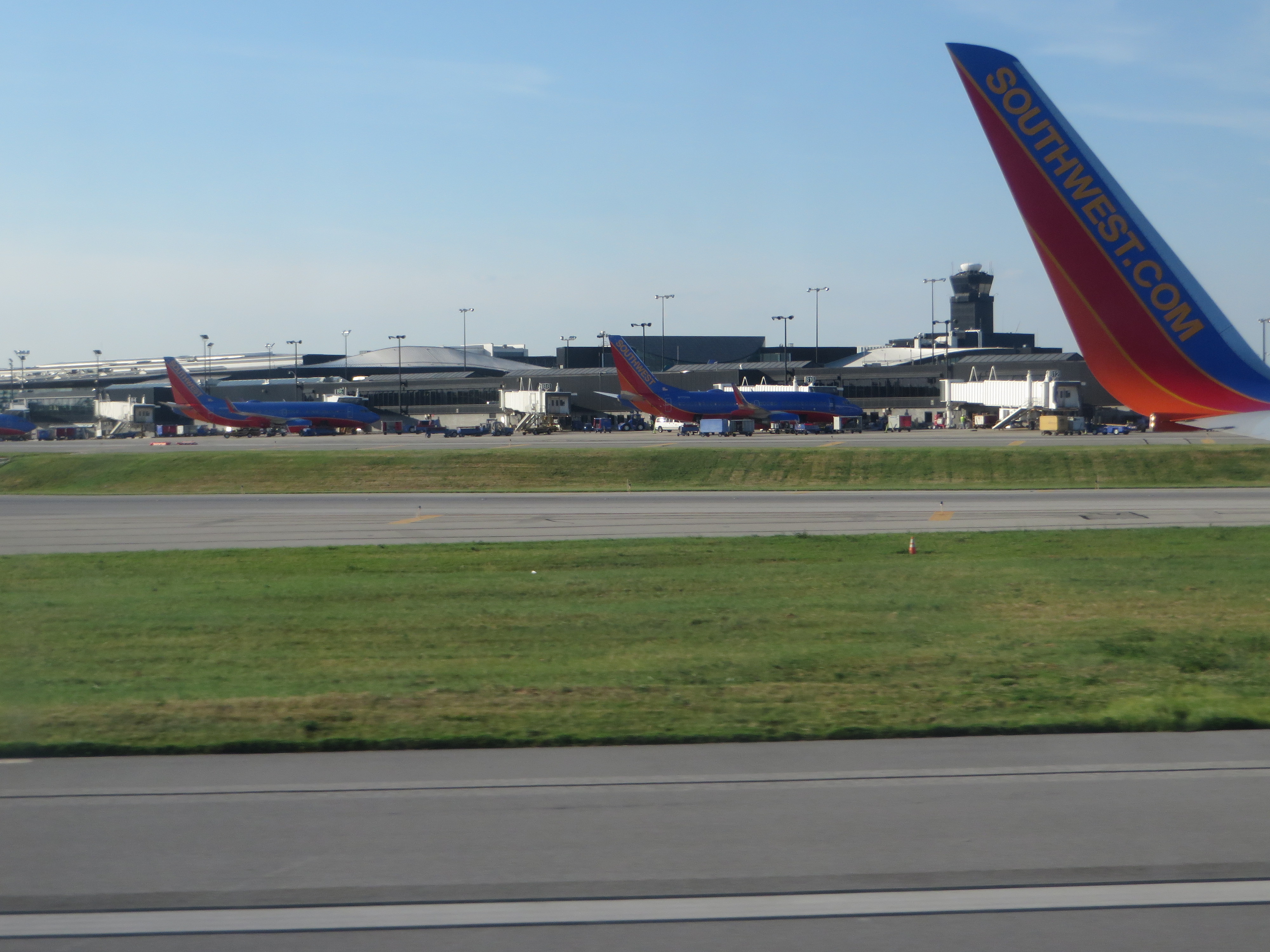
Baltimore/Washington International Thurgood Marshall Airport is an international airport serving the Baltimore–Washington Metropolitan Area in the United States, it is one of three major airports serving this region, the other two being Ronald Reagan Washington National Airport and Washington Dulles International Airport. It is commonly referred to as BWI or BWI Marshall. Located adjacent to the CDP Linthicum in northern unincorporated Anne Arundel County, Maryland, the airport is about 10 miles (16 km) south of Baltimore and 32 miles (51 km) northeast of Washington, D.C. The airport is named after Thurgood Marshall, a Baltimore native who was the first African American to serve on the Supreme Court of the United States. BWI is a focus city for Southwest Airlines,. A record 21.9 million passengers traveled through BWI in 2010, an increase of 4.7% over the previous year, with July being the busiest month ever in the airport's history. This made BWI the 24th busiest airport of North America in 2010. The airport was also ranked 47th in the world in total aircraft movements in 2008. In 2010, BWI was ranked as the best airport of its size (15–25 mil. passengers) in the world by the Airports Council International based on its 2009 Airport Service Quality survey. The airport also won second place for North American airports in the "Best Food and Beverage Program" of the 2010 Richard A. Griesbach Excellence in Airport Concessions Contest, sponsored by the Airports Council International. Police services are provided by the Maryland Transportation Authority Police Force, a State Police Force of 500 fully trained and sworn men and women. The MDTA Police is a full service police force, but formed specifically to provide these services: Transportation Assets and Homeland Security. en.wikipedia.org/wiki/Baltimore%E2%80%93Washington_Intern... en.wikipedia.org/wiki/Wikipedia:Text_of_Creative_Commons_... |
| Date | |
| Source | Baltimore-Washington International Thurgood Marshall Airport, Maryland |
| Author | Ken Lund from Reno, Nevada, USA |
| Camera location | | View this and other nearby images on: OpenStreetMap |
|---|
.jpg¶ms=039.179605_N_-076.670998_E_globe:Earth_type:camera_source:Flickr_&language=en)
Licensing
[edit].jpg&action=edit§ion=2)
- You are free:
- to share – to copy, distribute and transmit the work
- to remix – to adapt the work
- Under the following conditions:
- attribution – You must give appropriate credit, provide a link to the license, and indicate if changes were made. You may do so in any reasonable manner, but not in any way that suggests the licensor endorses you or your use.
- share alike – If you remix, transform, or build upon the material, you must distribute your contributions under the same or compatible license as the original.
| This image was originally posted to Flickr by Ken Lund at https://flickr.com/photos/75683070@N00/14311546708. It was reviewed on 4 December 2015 by FlickreviewR and was confirmed to be licensed under the terms of the cc-by-sa-2.0. |
File history
Click on a date/time to view the file as it appeared at that time.
| Date/Time | Thumbnail | Dimensions | User | Comment | |
|---|---|---|---|---|---|
| current | 01:32, 4 December 2015 | | 4,000 × 3,000 (2.58 MB) | INeverCry (talk | contribs) | Transferred from Flickr via Flickr2Commons |
You cannot overwrite this file.
File usage on Commons
There are no pages that use this file.
.jpg&oldid=816045213)